HIKING
hiking hood canal
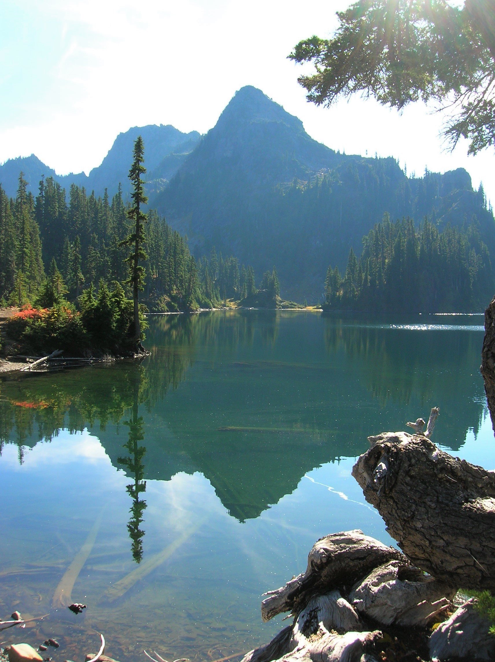
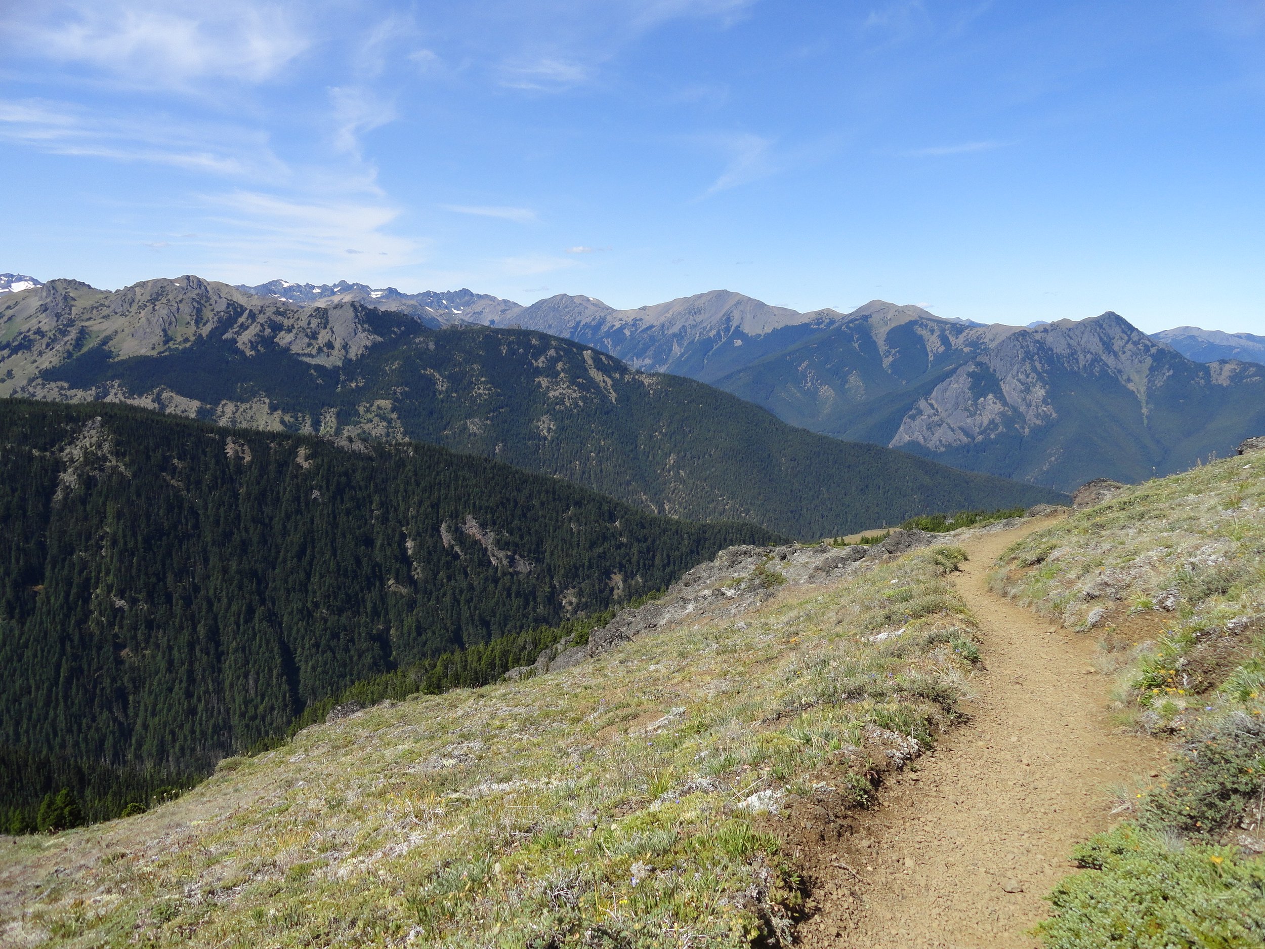
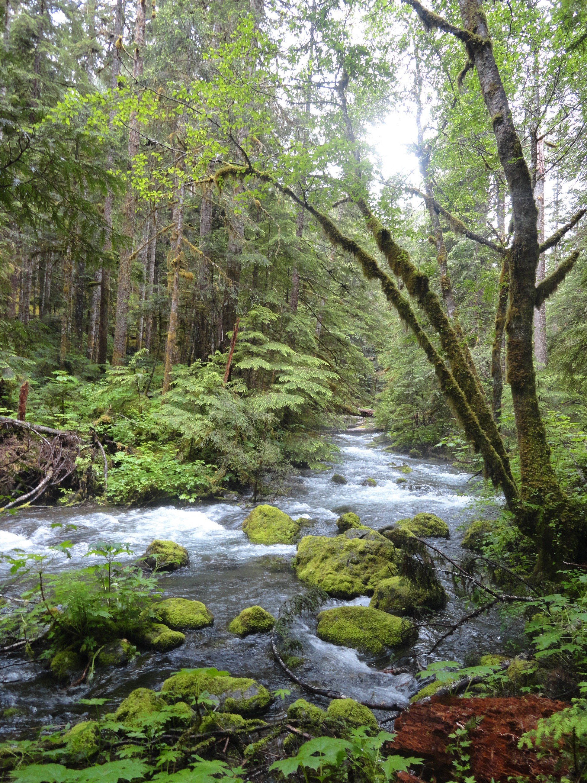
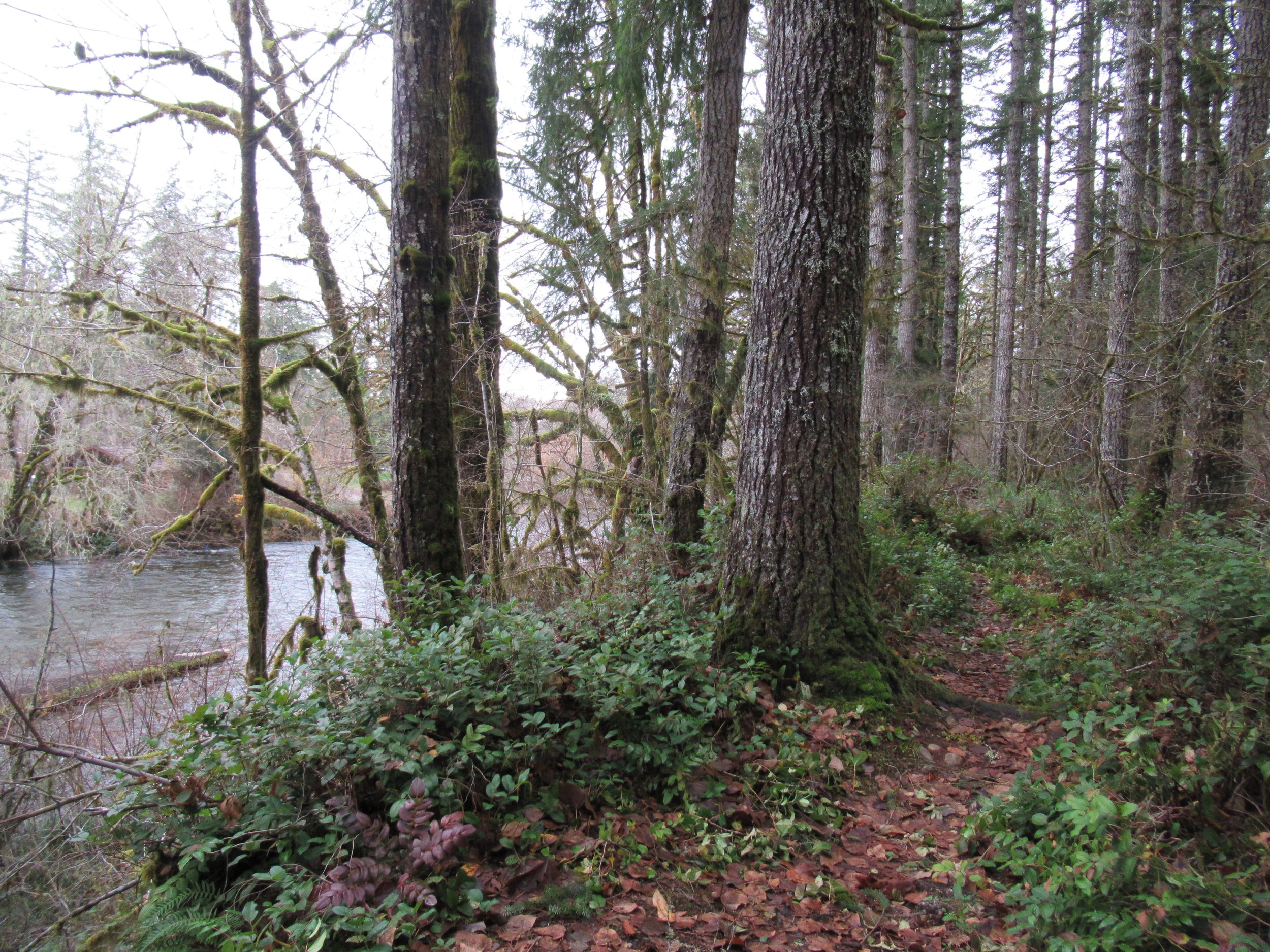
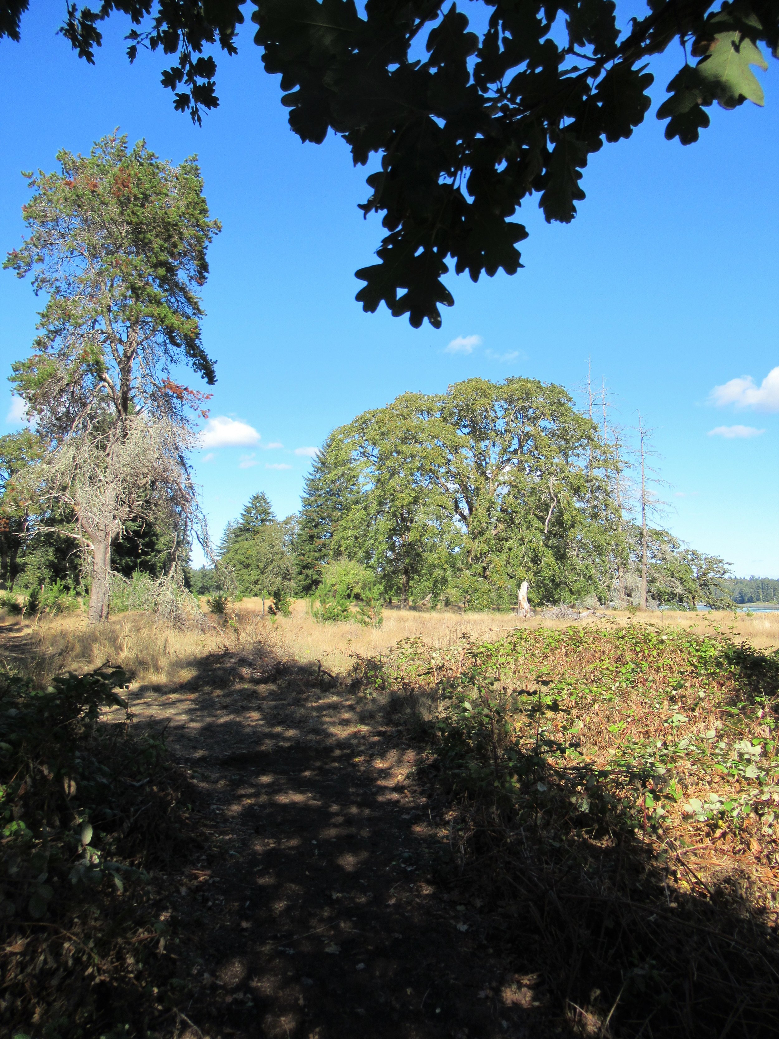
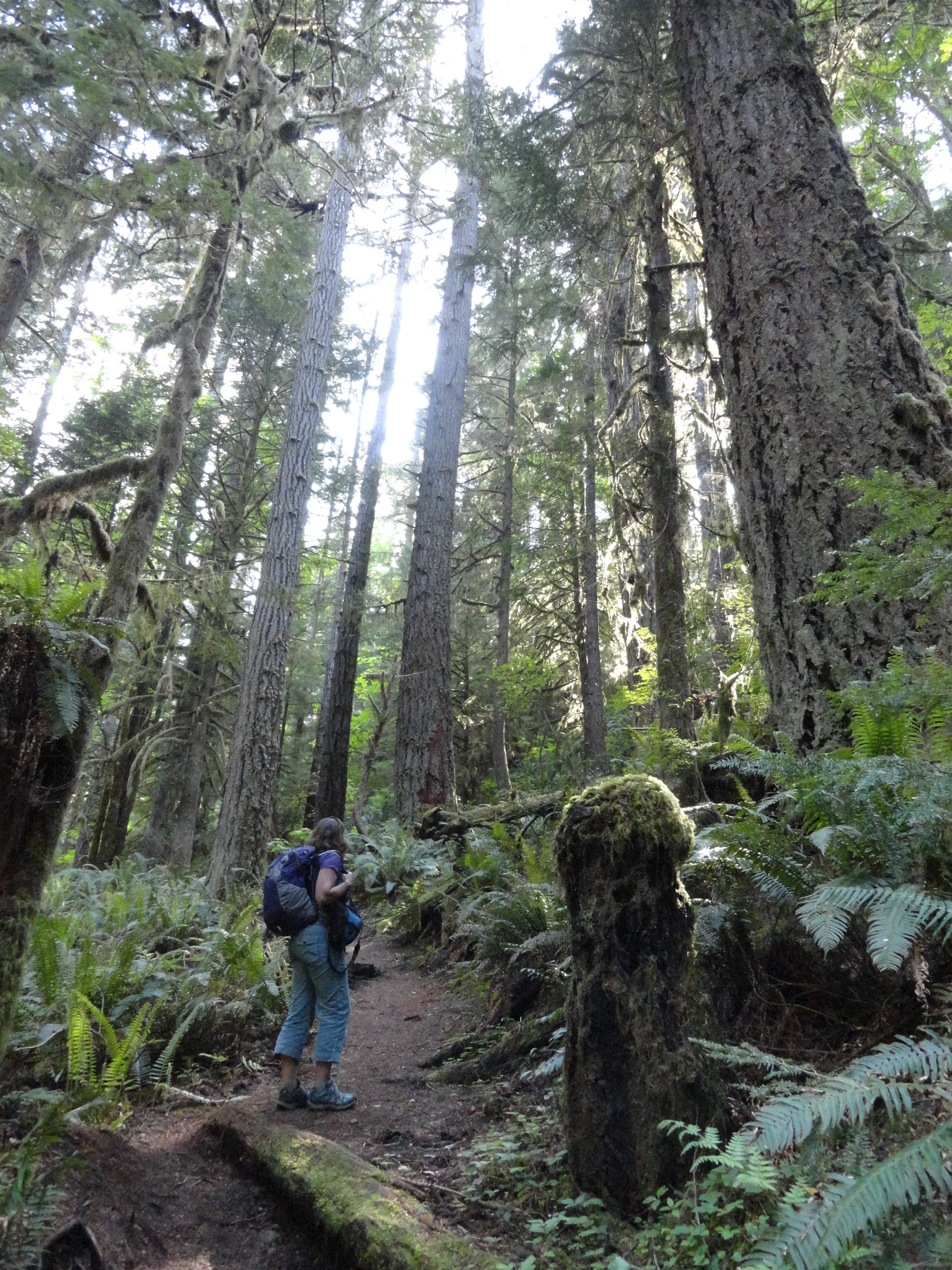
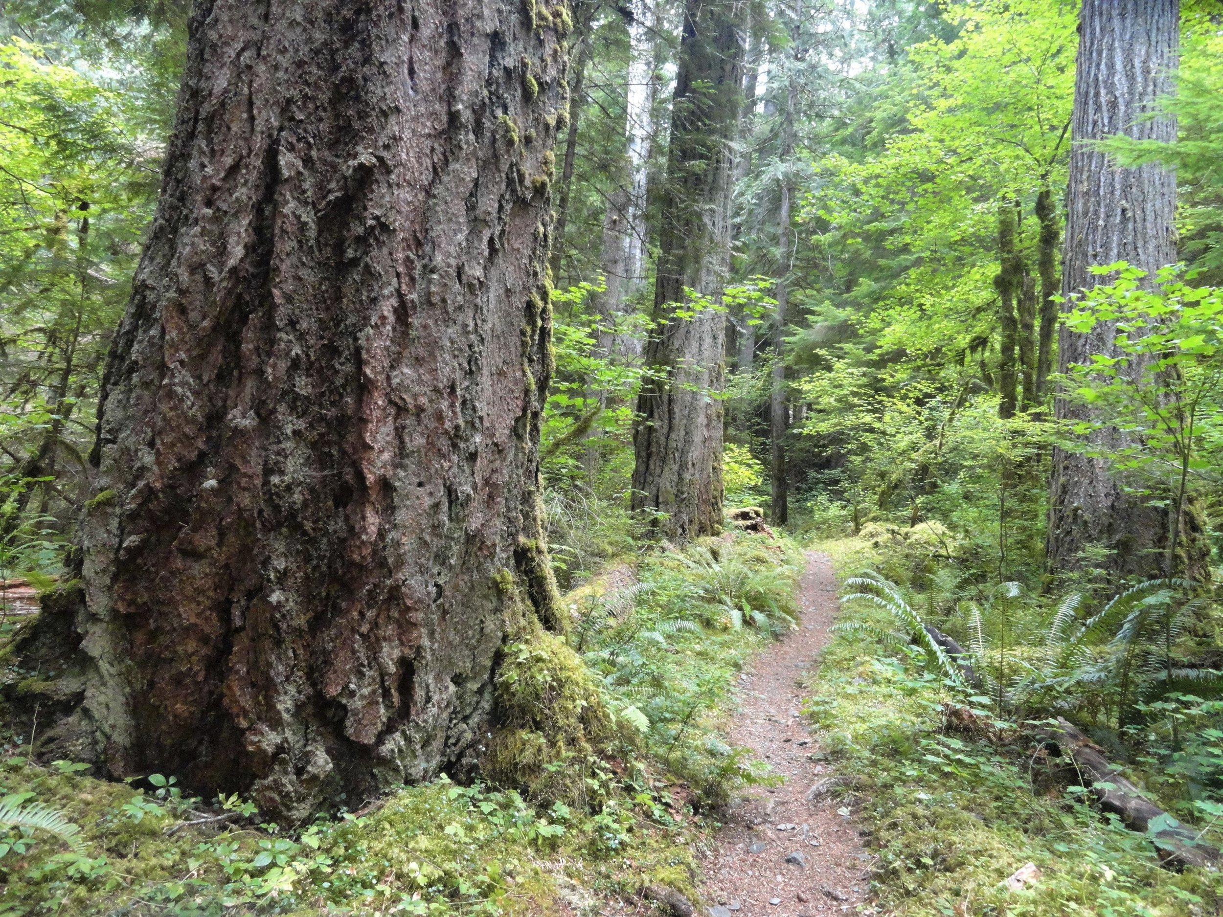
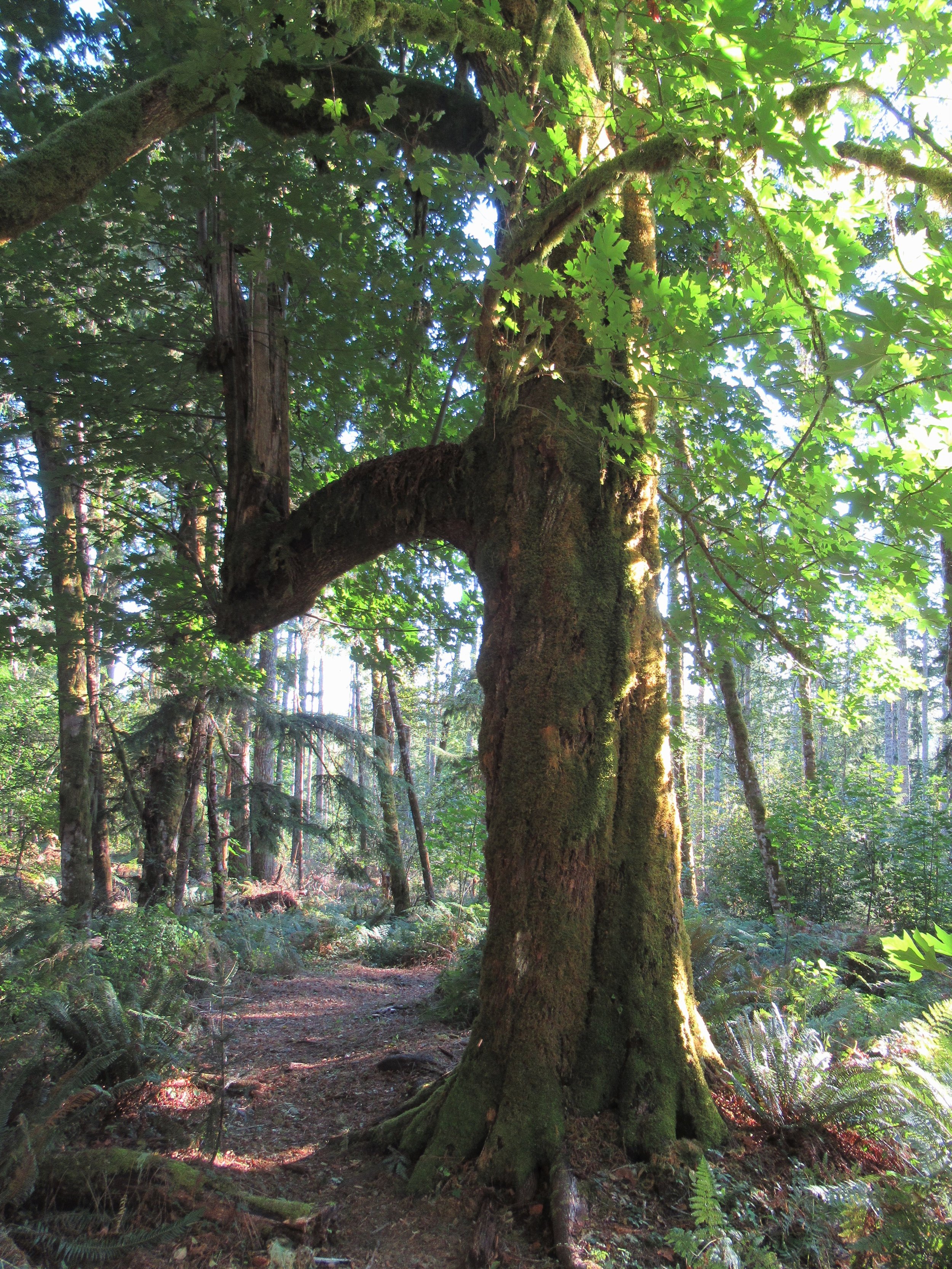
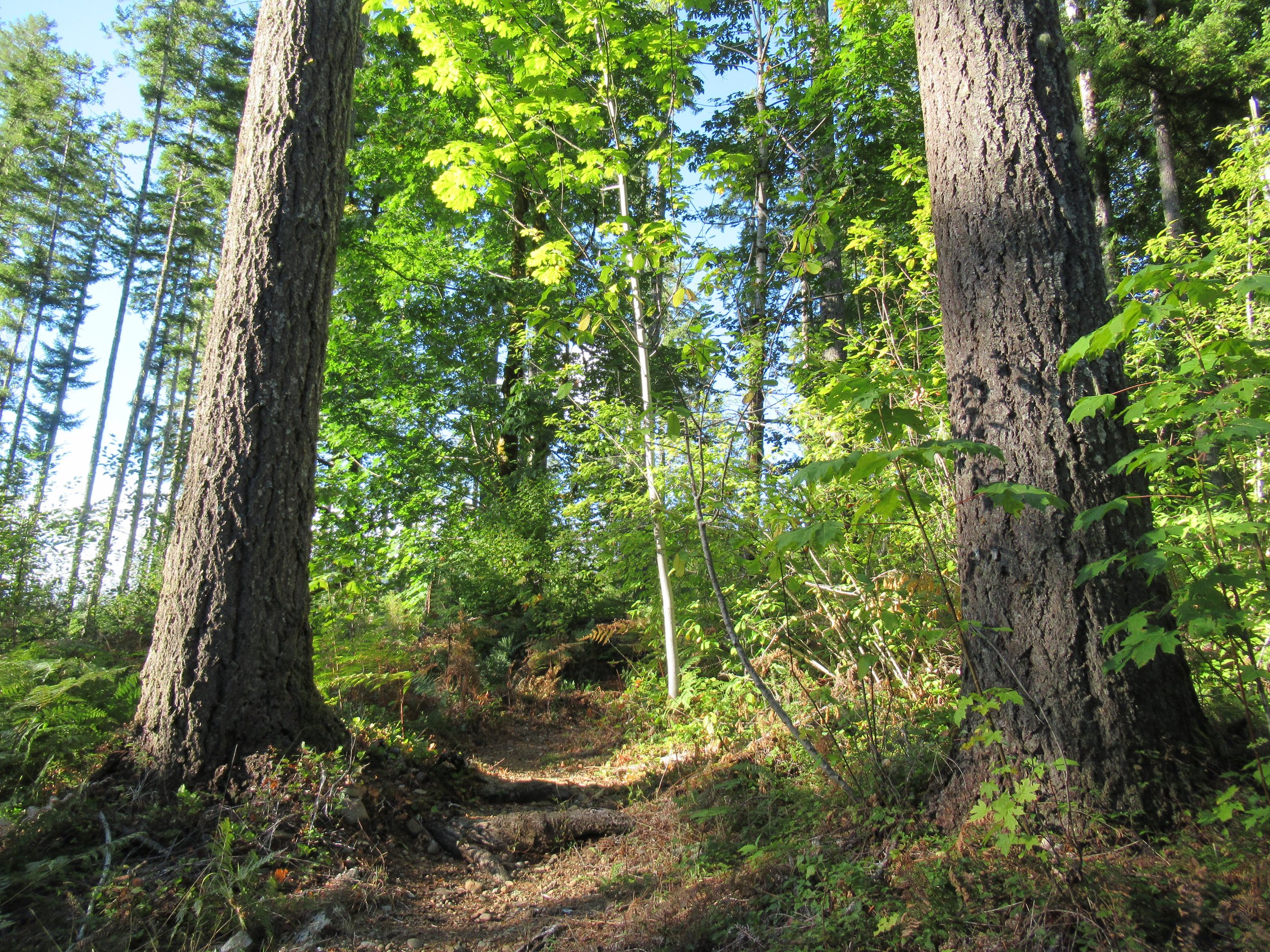
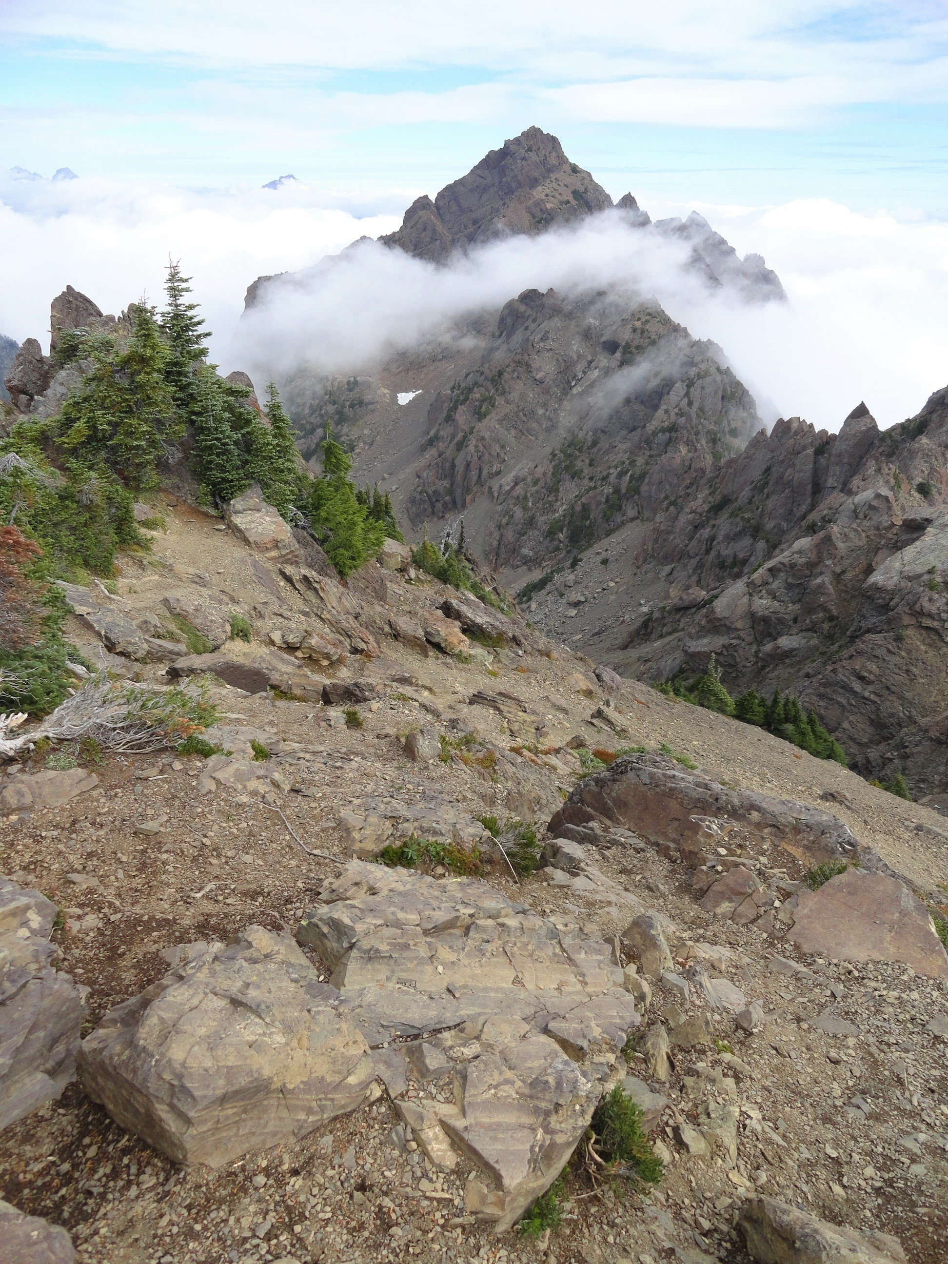
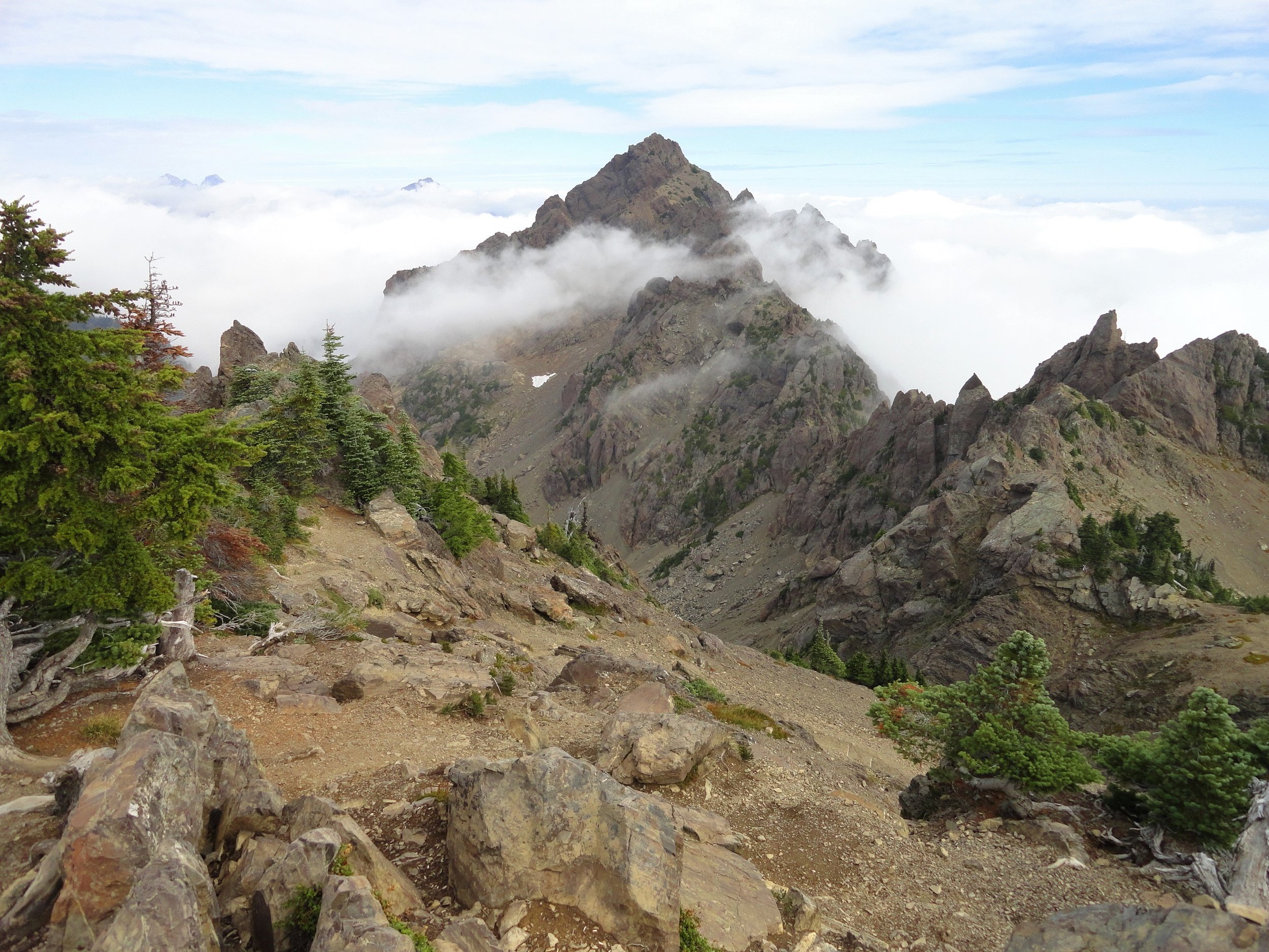
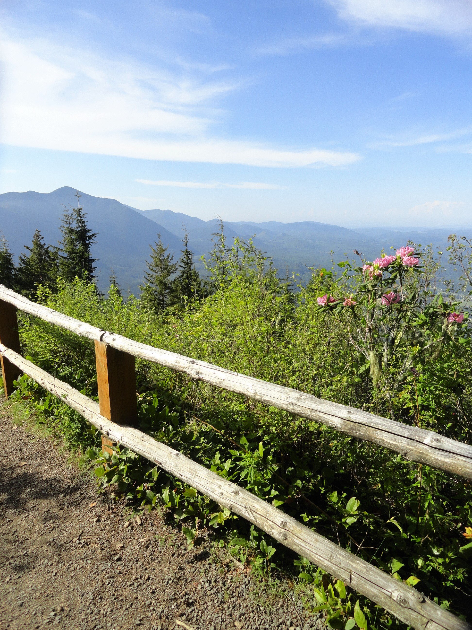
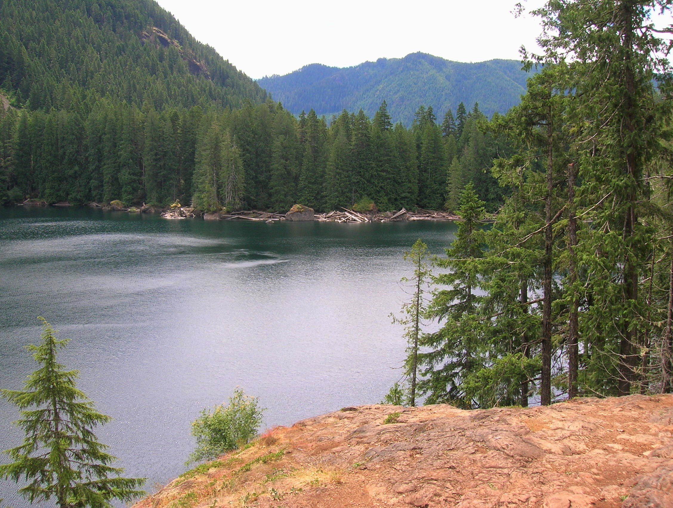
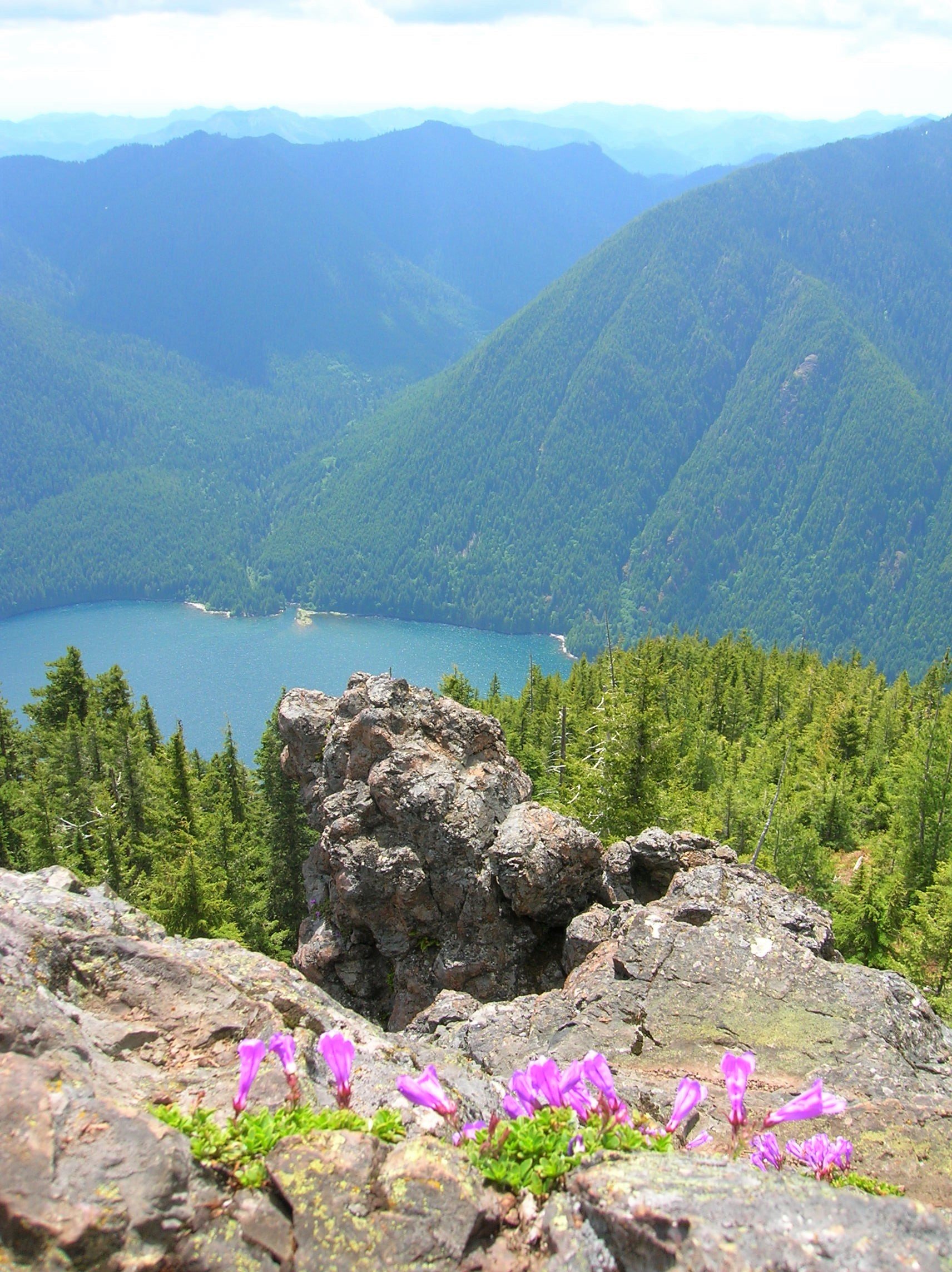
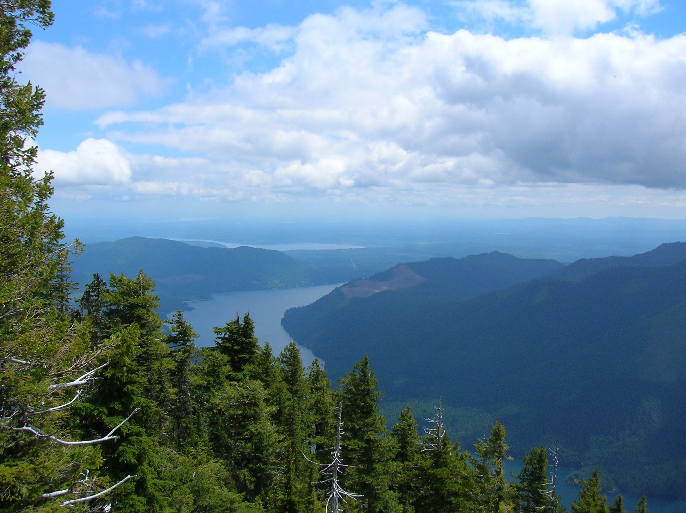
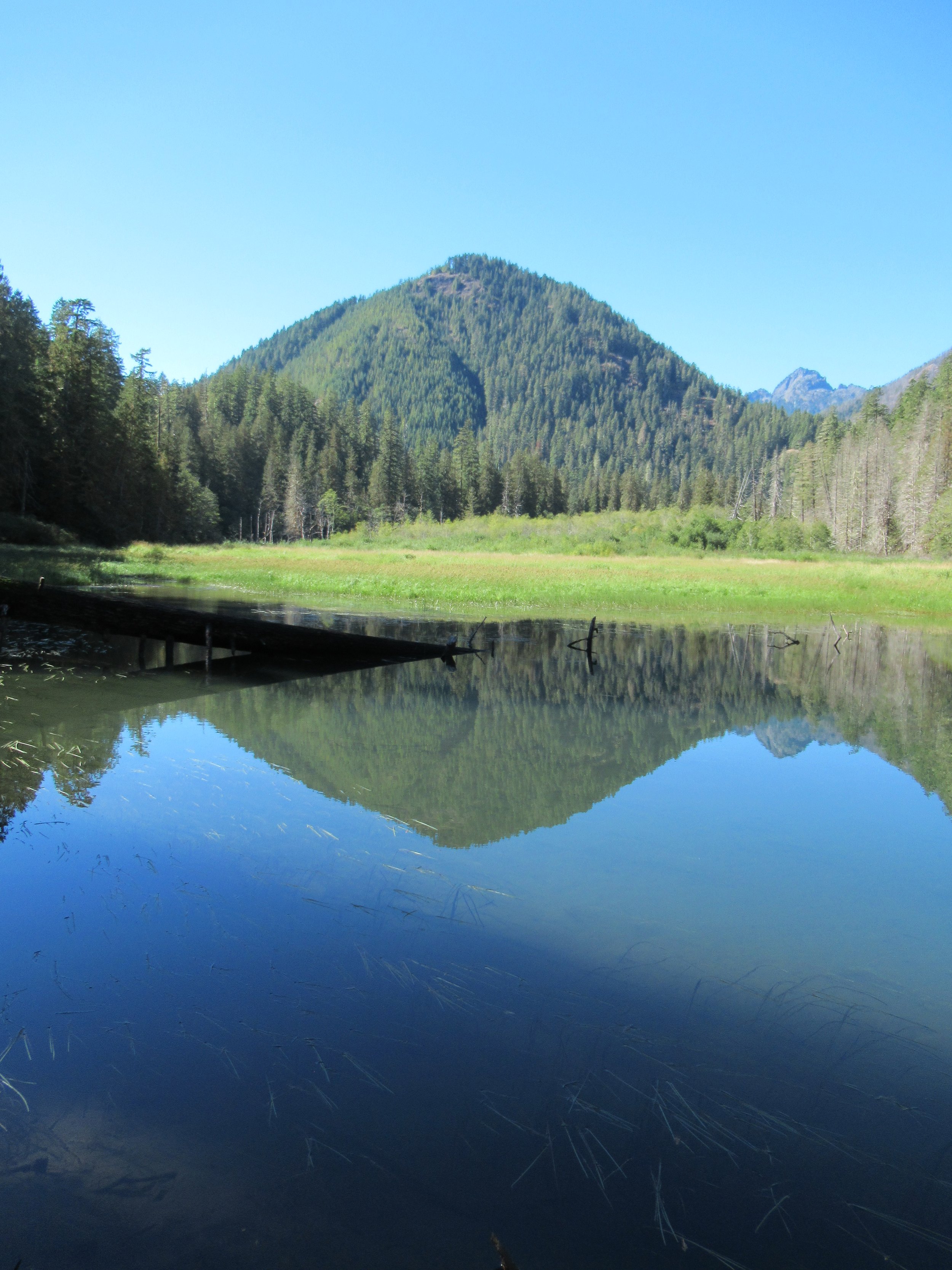
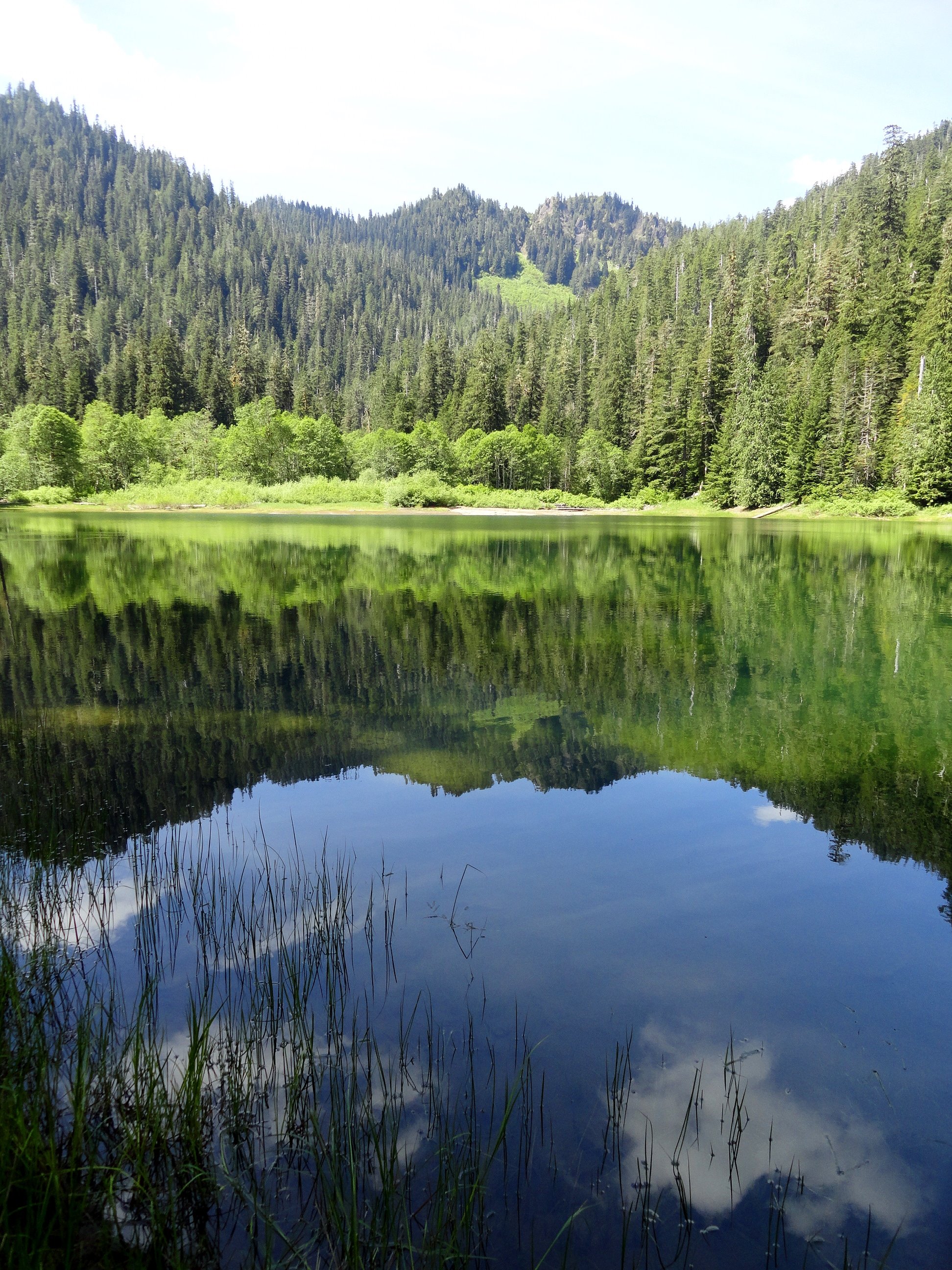
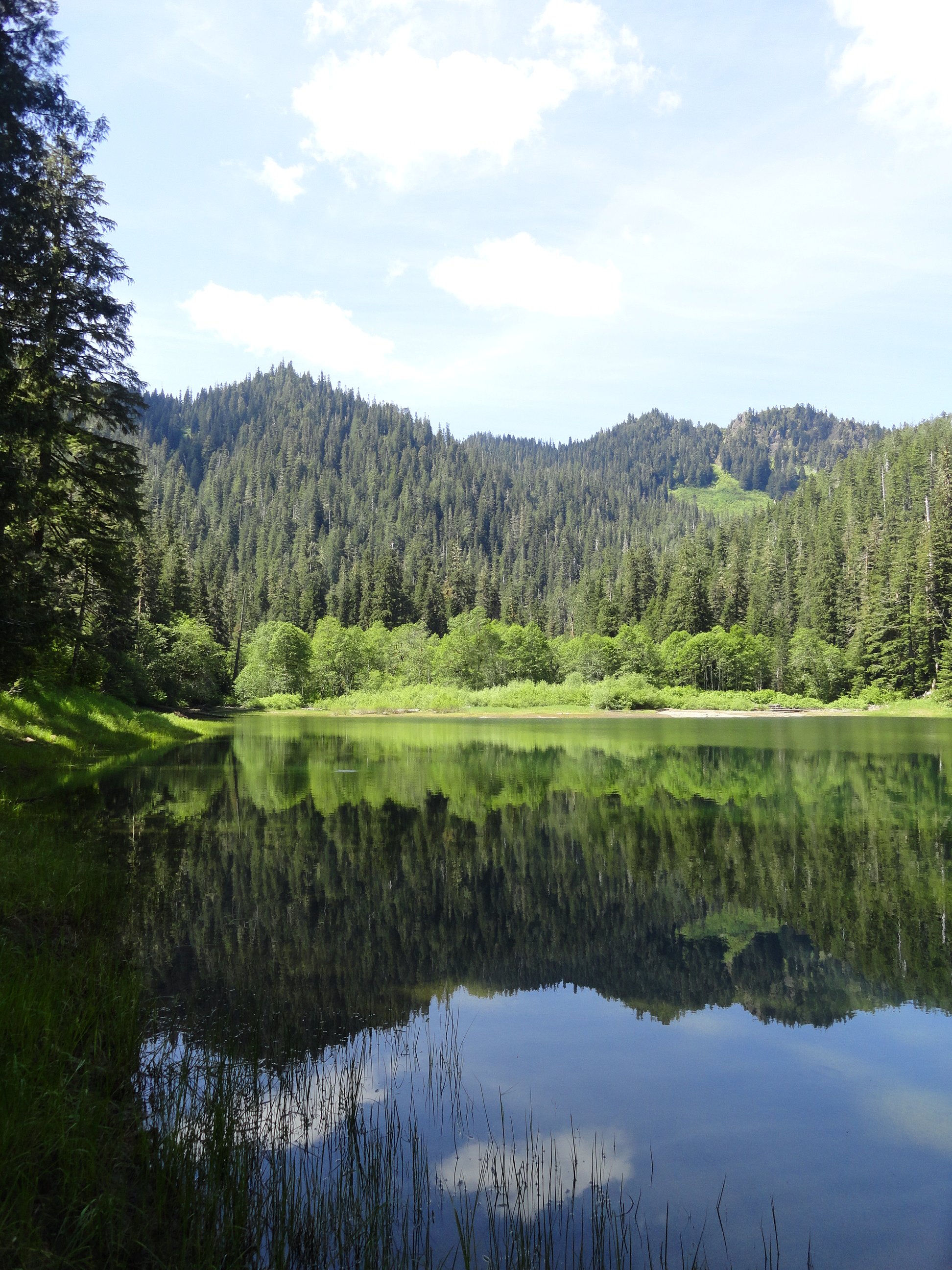
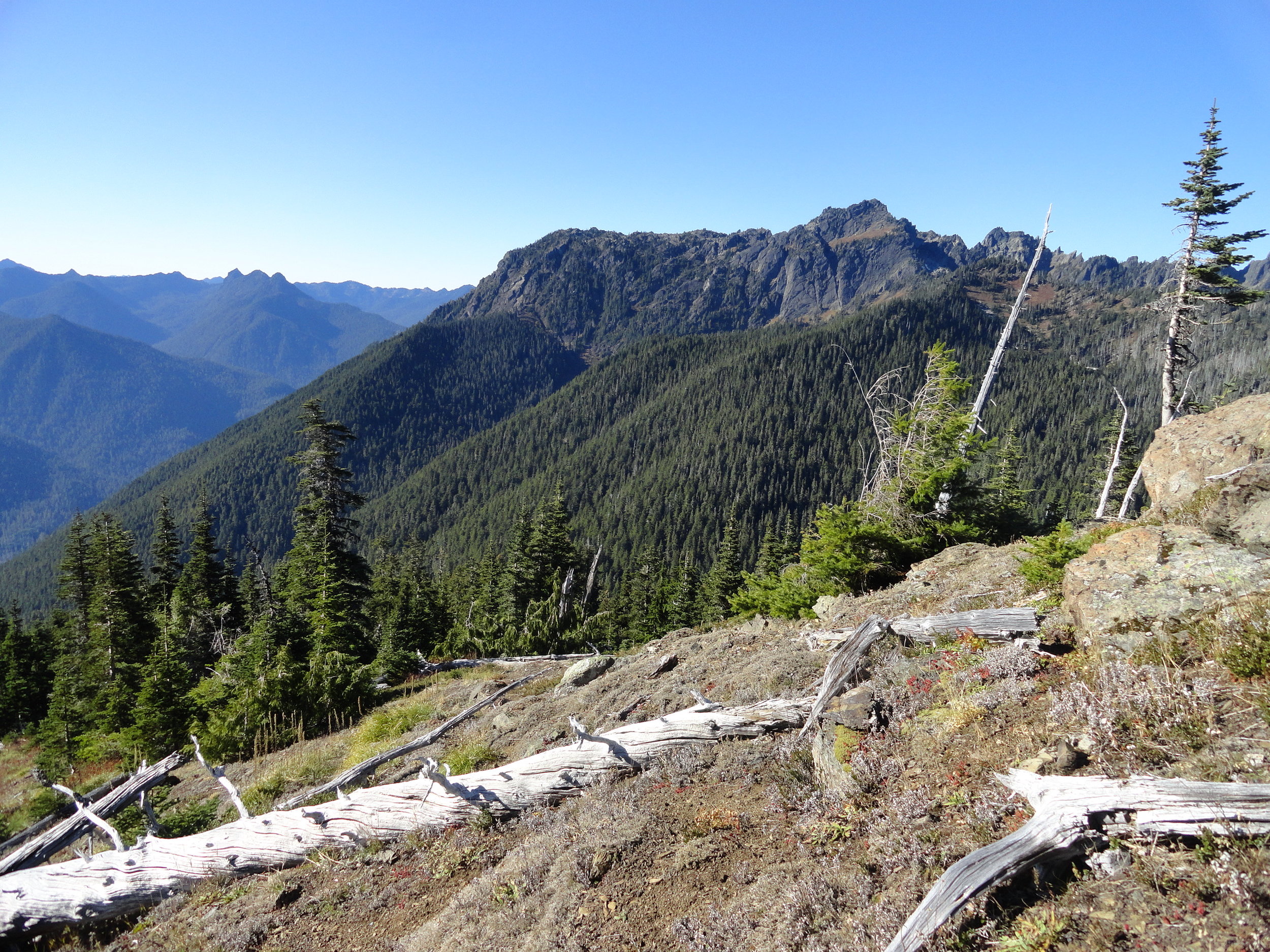
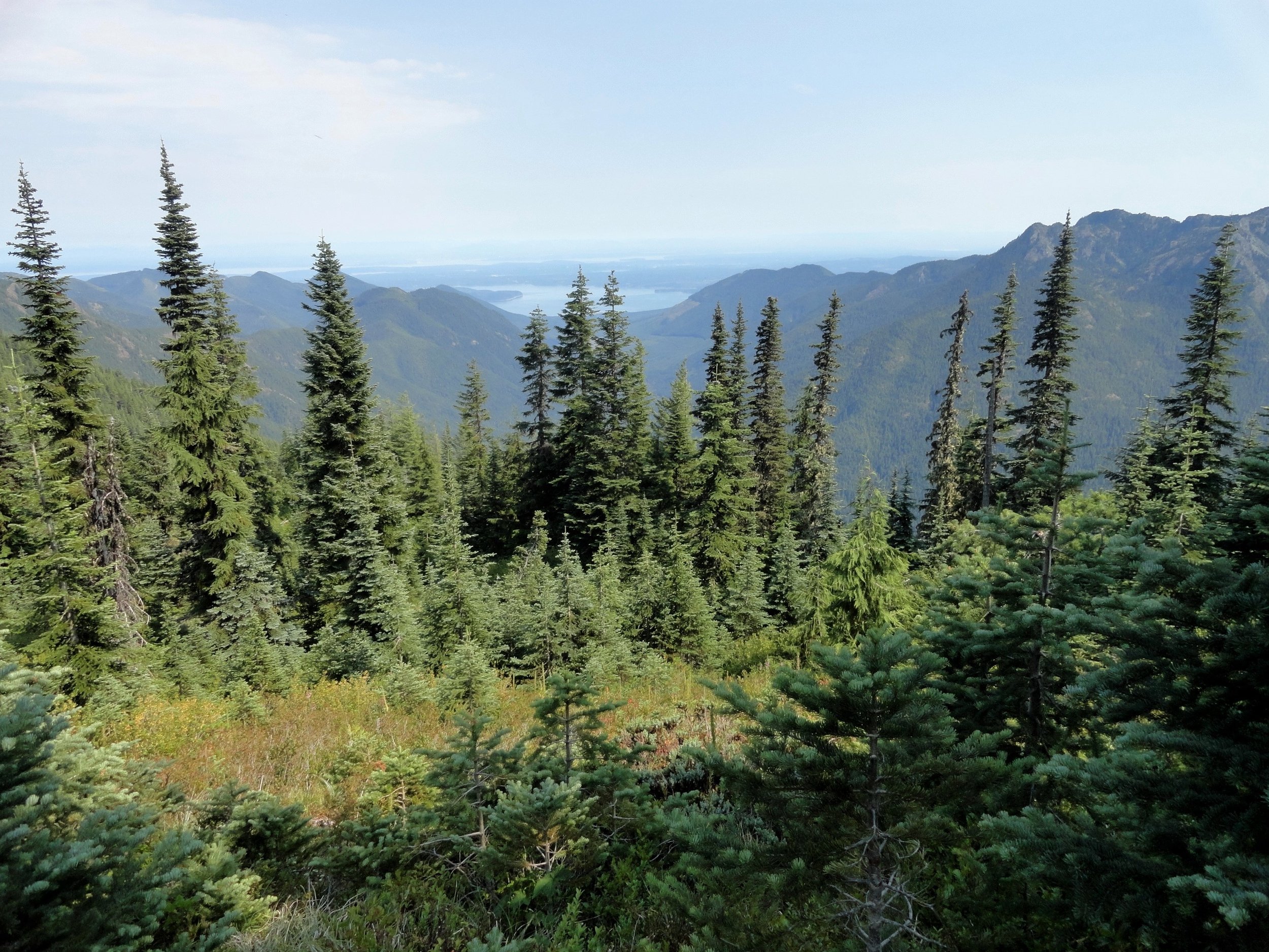
An explorer could spend a lifetime adventuring in the Olympics. Come discover endless natural beauty when you hike Hood Canal.
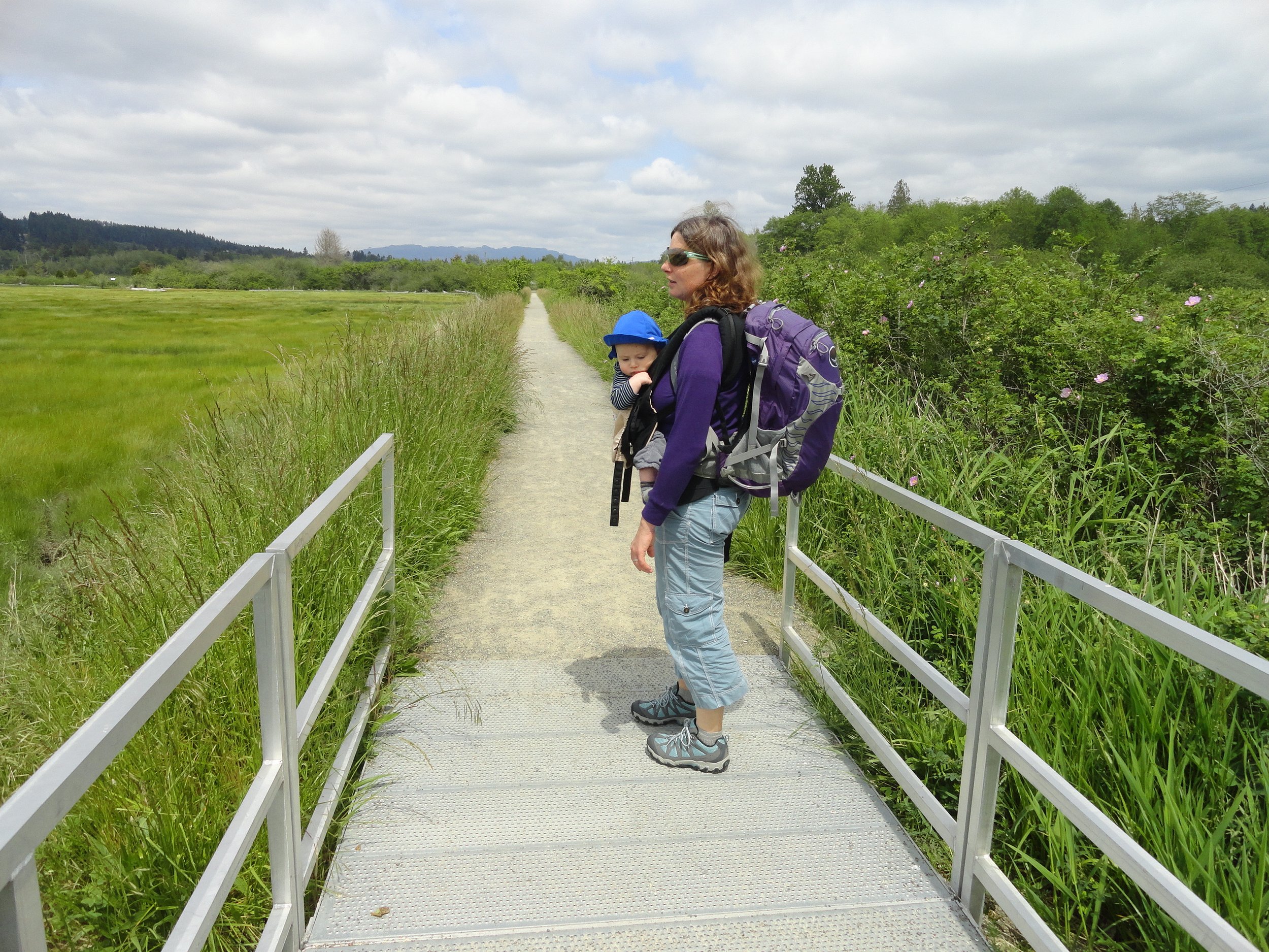
Discover trails to sandy beaches, islands, cascading creeks, primeval forests, sparkling backcountry alpine lakes, wildflower meadows, airy mountain tops, wildlife preserves, historic sites and breathtaking waterfalls. We’ve also pointed out some trails that are dog-friendly, kid-friendly and off-the-beaten path.
View & download
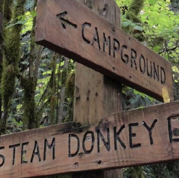
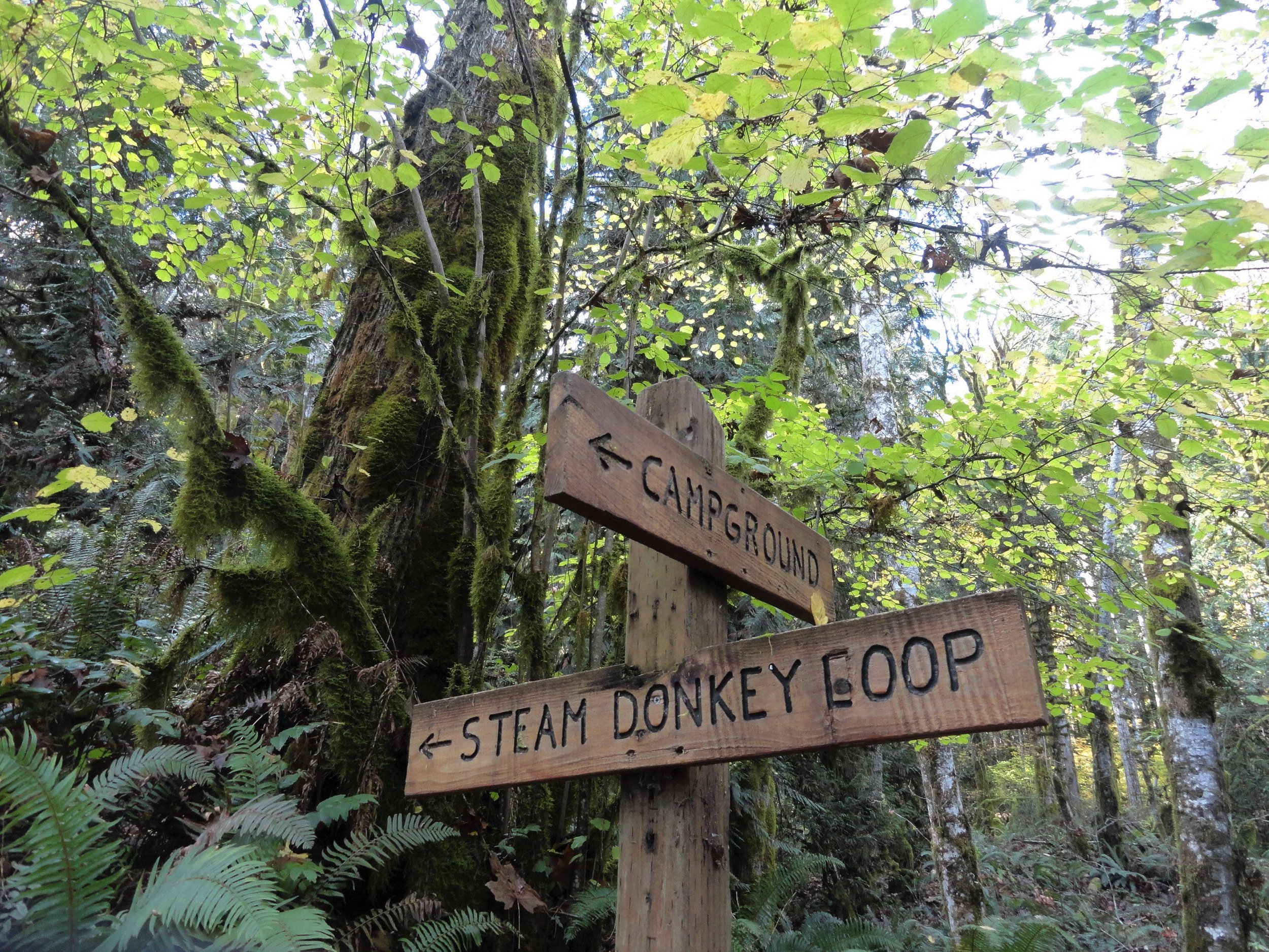
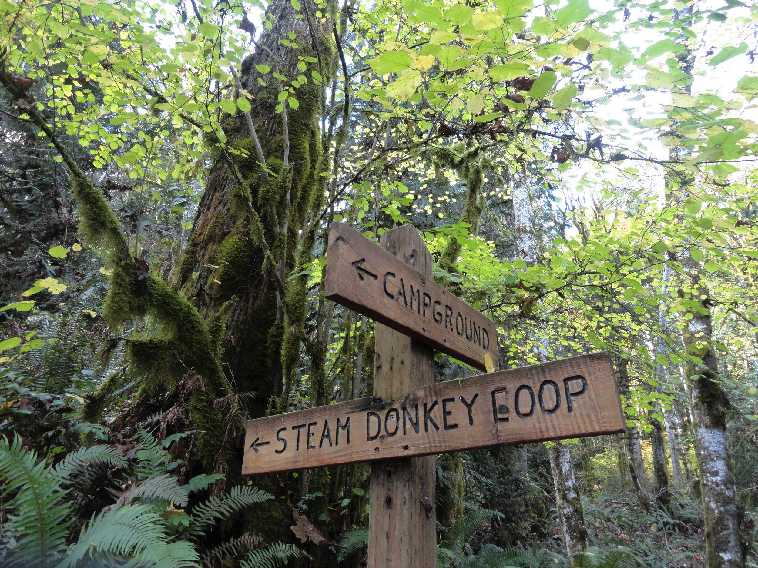
Well-known for its campground and excellent fishing and shell fishing opportunities, the park also contains nearly five miles of hiking trails. An excellent 3.6 mile loop can be made by following the Maple Valley and Steam Donkey Tails.
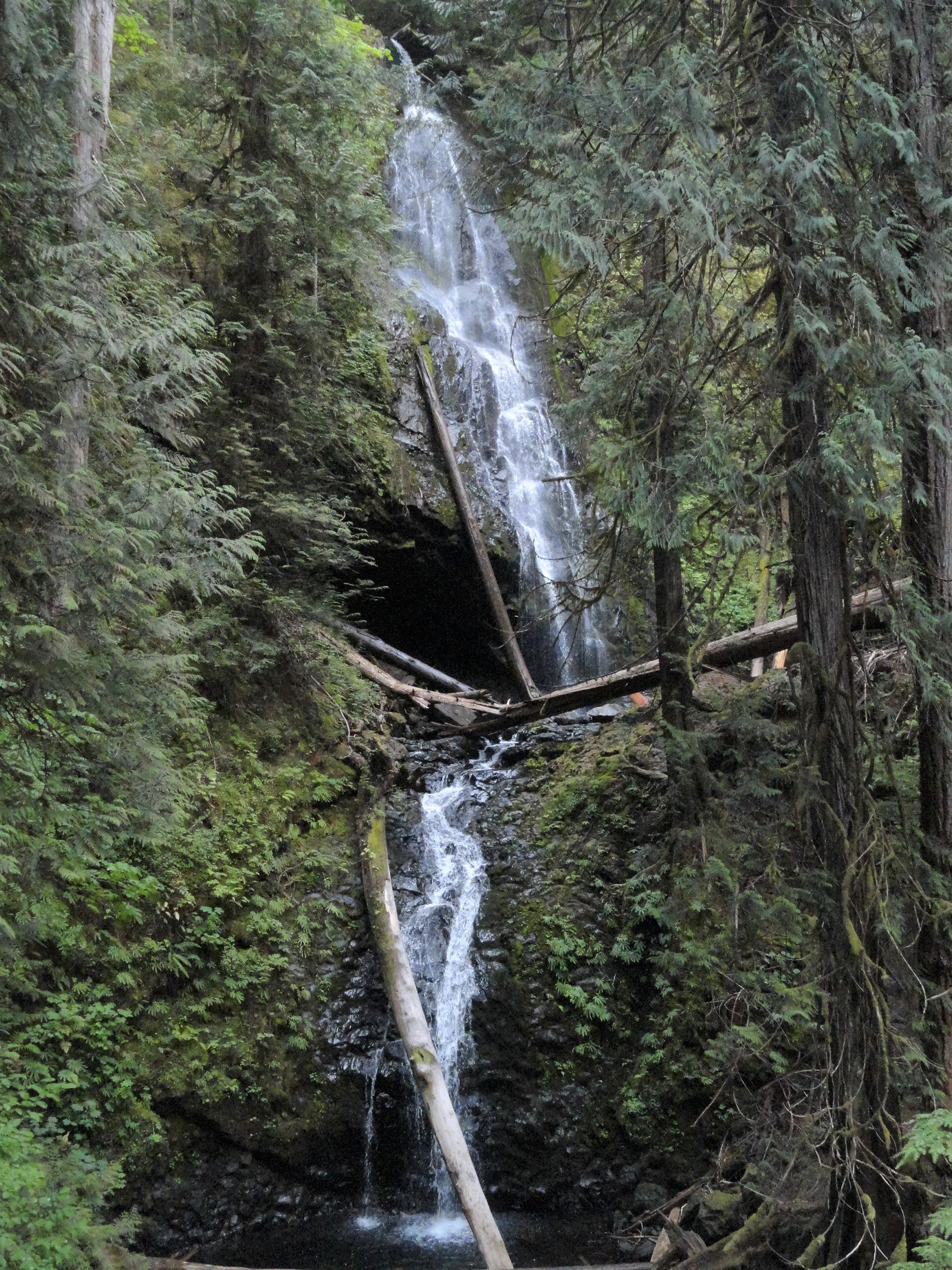
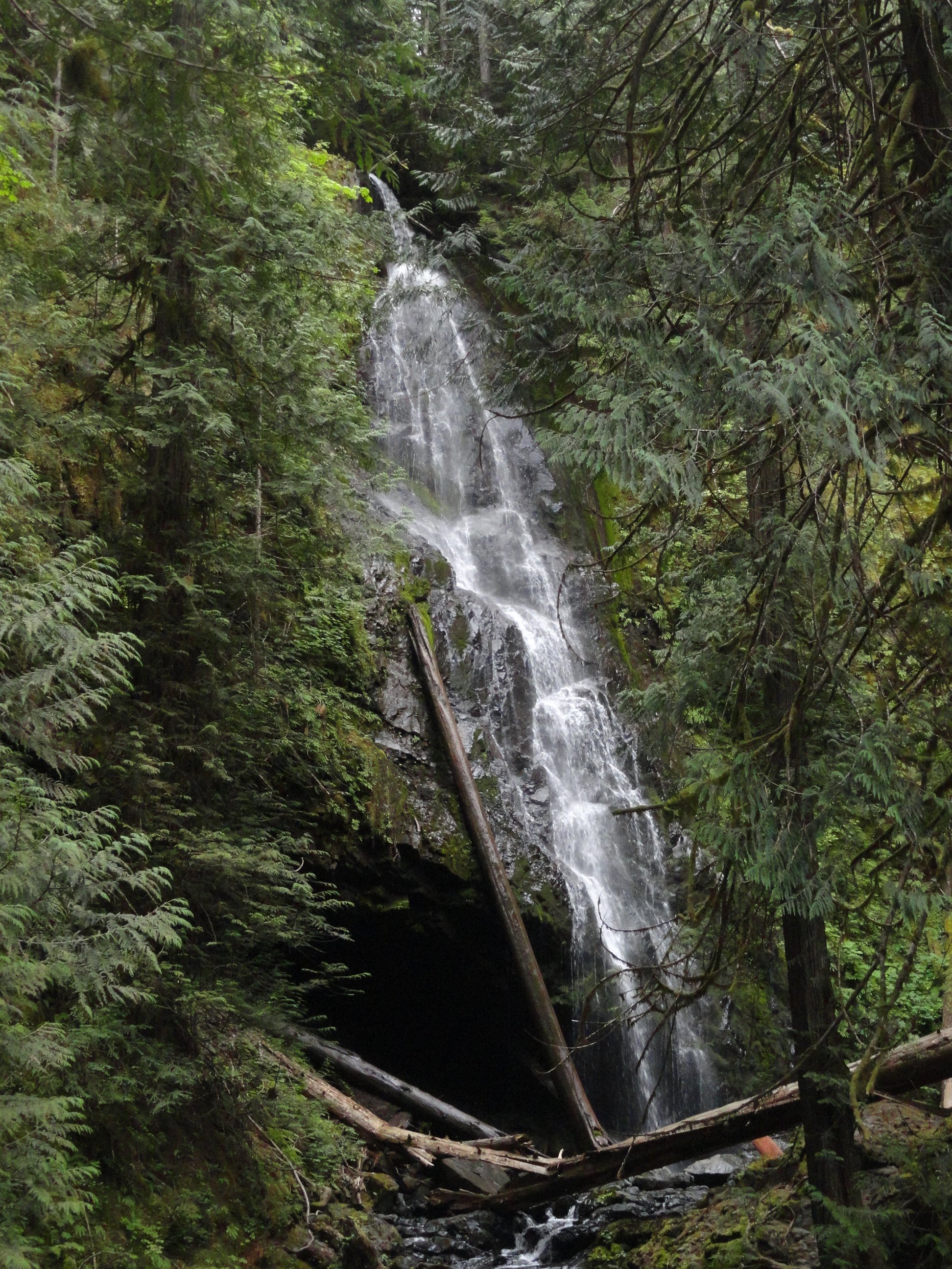
Murhut Falls are tucked away in a narrow, green valley. They stayed hidden until a new, simple trail was made. This waterfall has two levels and drops 130 feet. Now, it's a popular spot for hikers on the Olympic Peninsula. The trail begins on an old logging road, where the falls were found due to past logging.
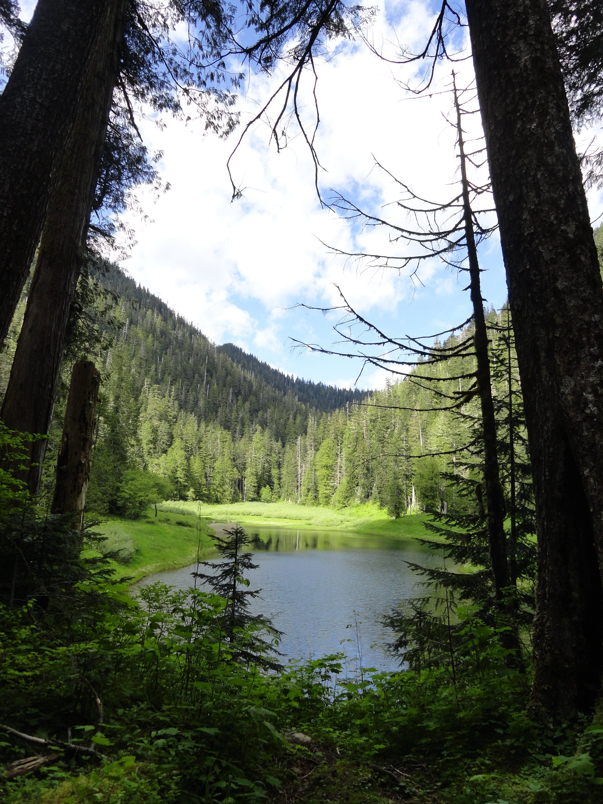
A great alternative to the oft-crowded Lena Lakes, the Elk Lakes are a perfect destination for hikers, young and old alike and those just seeking a little solace. The hike described here is the longer way following a remnant of a trail that once traversed the entire Jefferson Creek Valley. If your intent is to get to the lakes, then begin your hike from the upper (main) trailhead.
The trail starts off easy on an old road, crossing a flowing creek. Then it gets steep quickly with sharp turns, climbing nonstop through switchbacks. Pass by salal and young trees, with some big ancient firs still standing from past fires.
Hoodsport Trail Park is a small park located between Hood Canal and Lake Cushman. It offers about two miles of wooded trails with loops and connections. The trail system can be a bit confusing, which adds to the adventure for hikers also exploring Olympic National Park and Forest nearby.
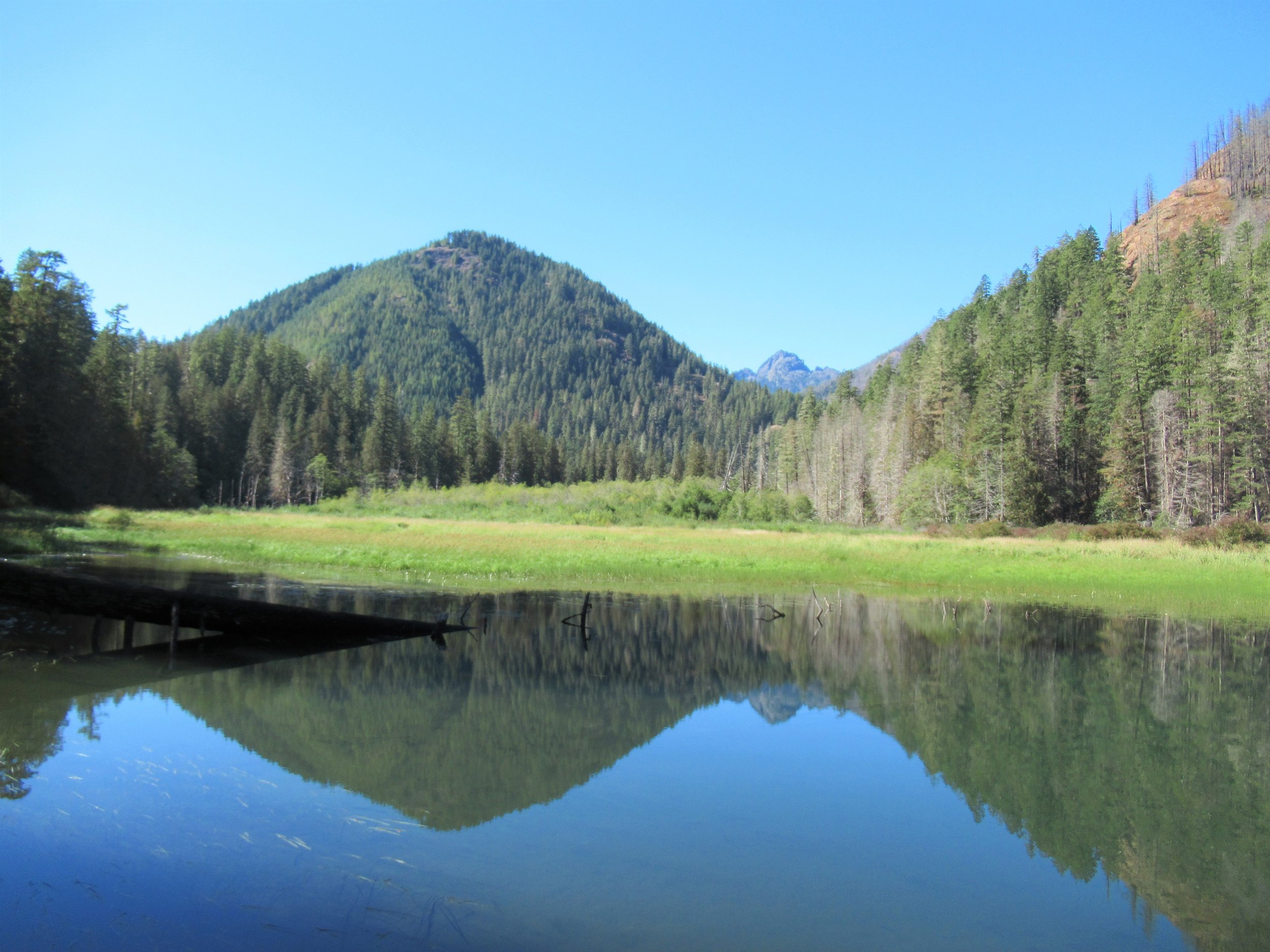
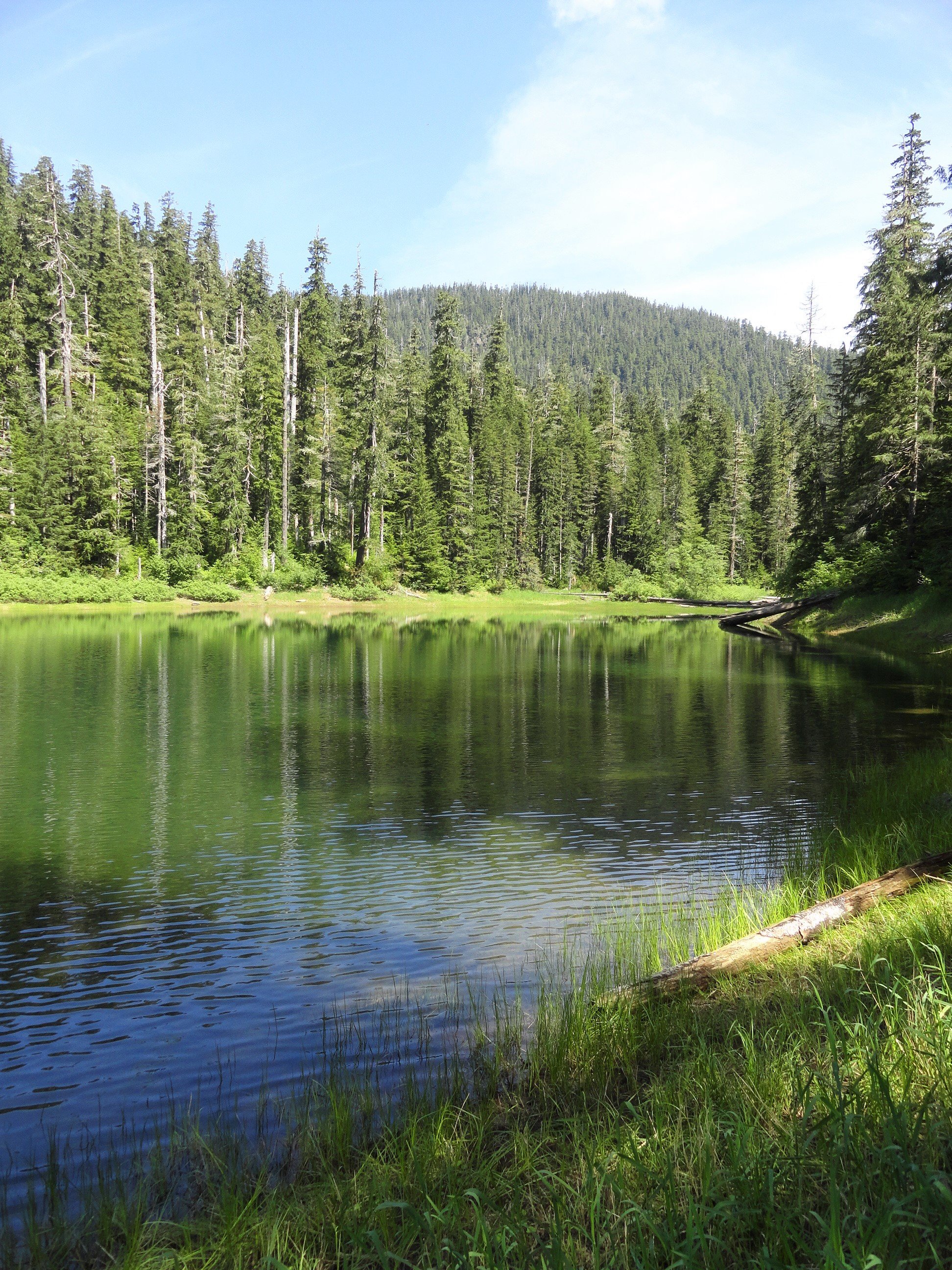
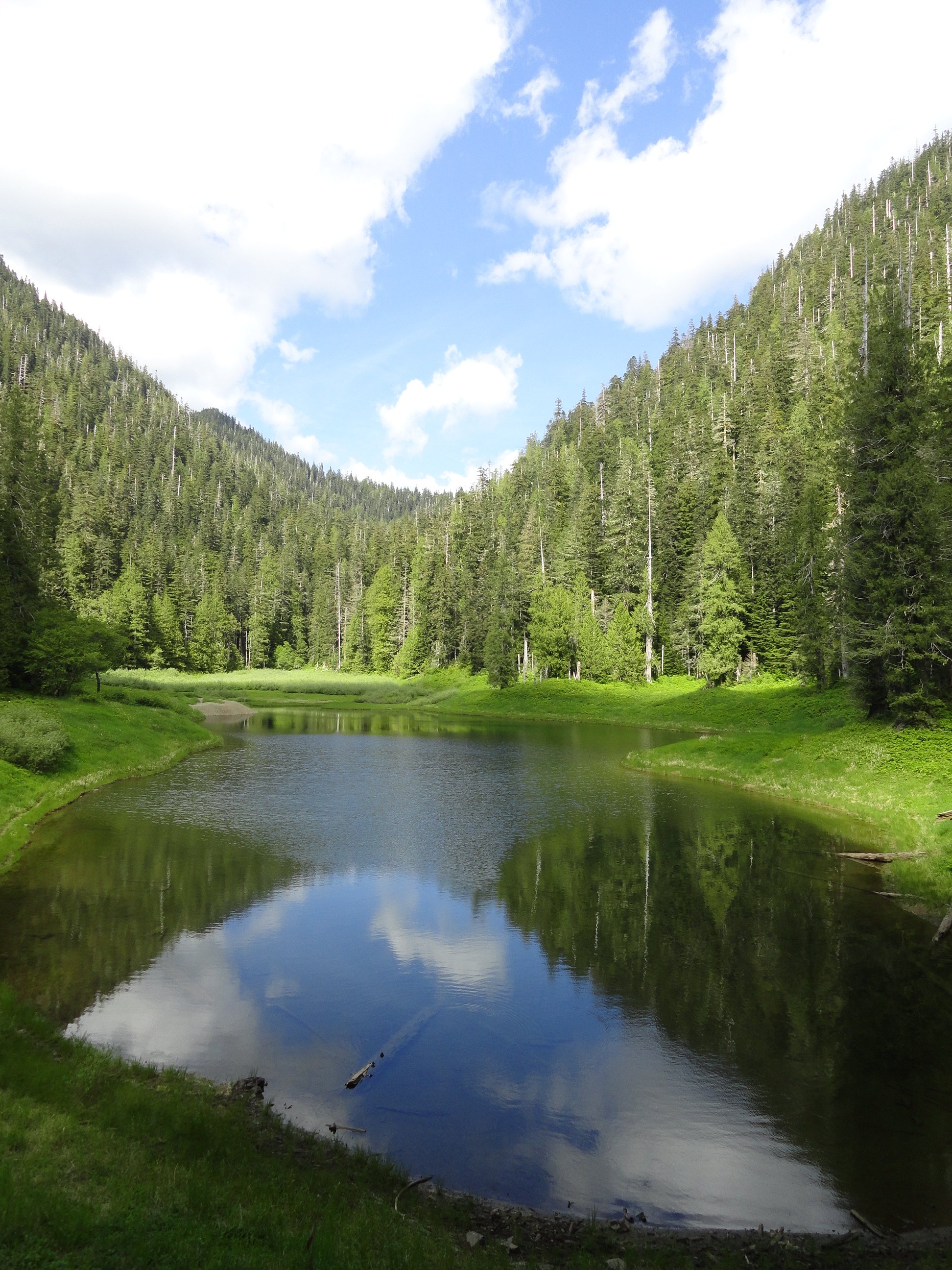
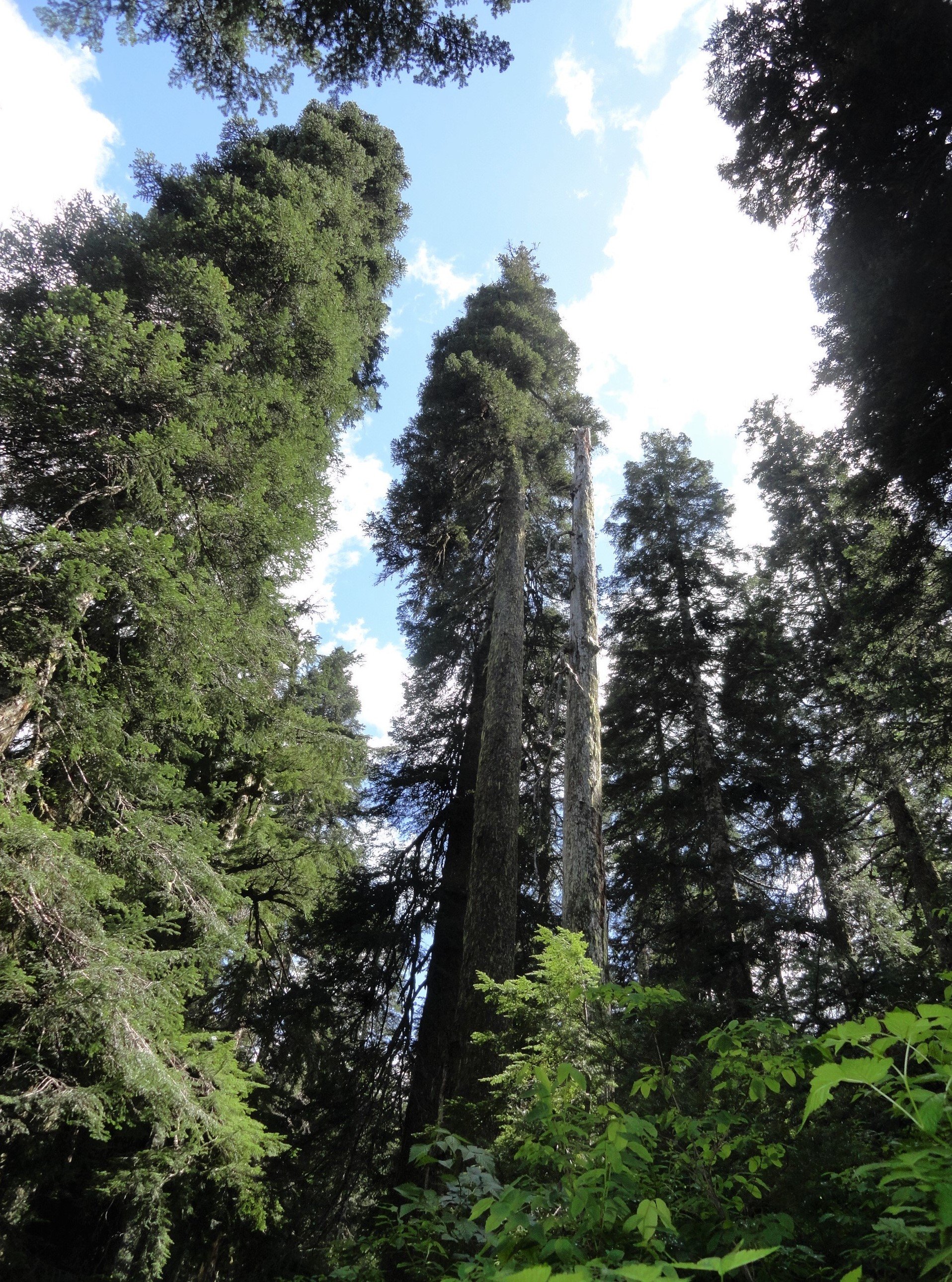
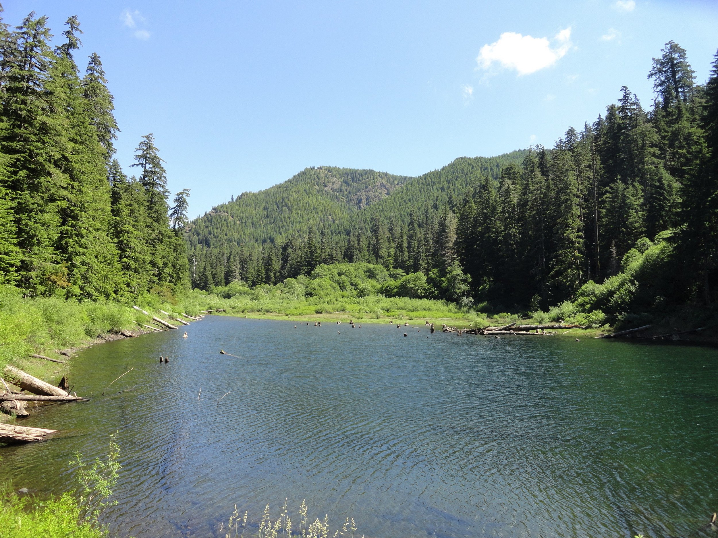
Spider Lake is a narrow lake in a valley with old, tall trees. The trail around the lake used to be longer with ancient trees, but most were cut down. Now, the trail is shorter but has been fixed up, and the trees on the hills are growing back.
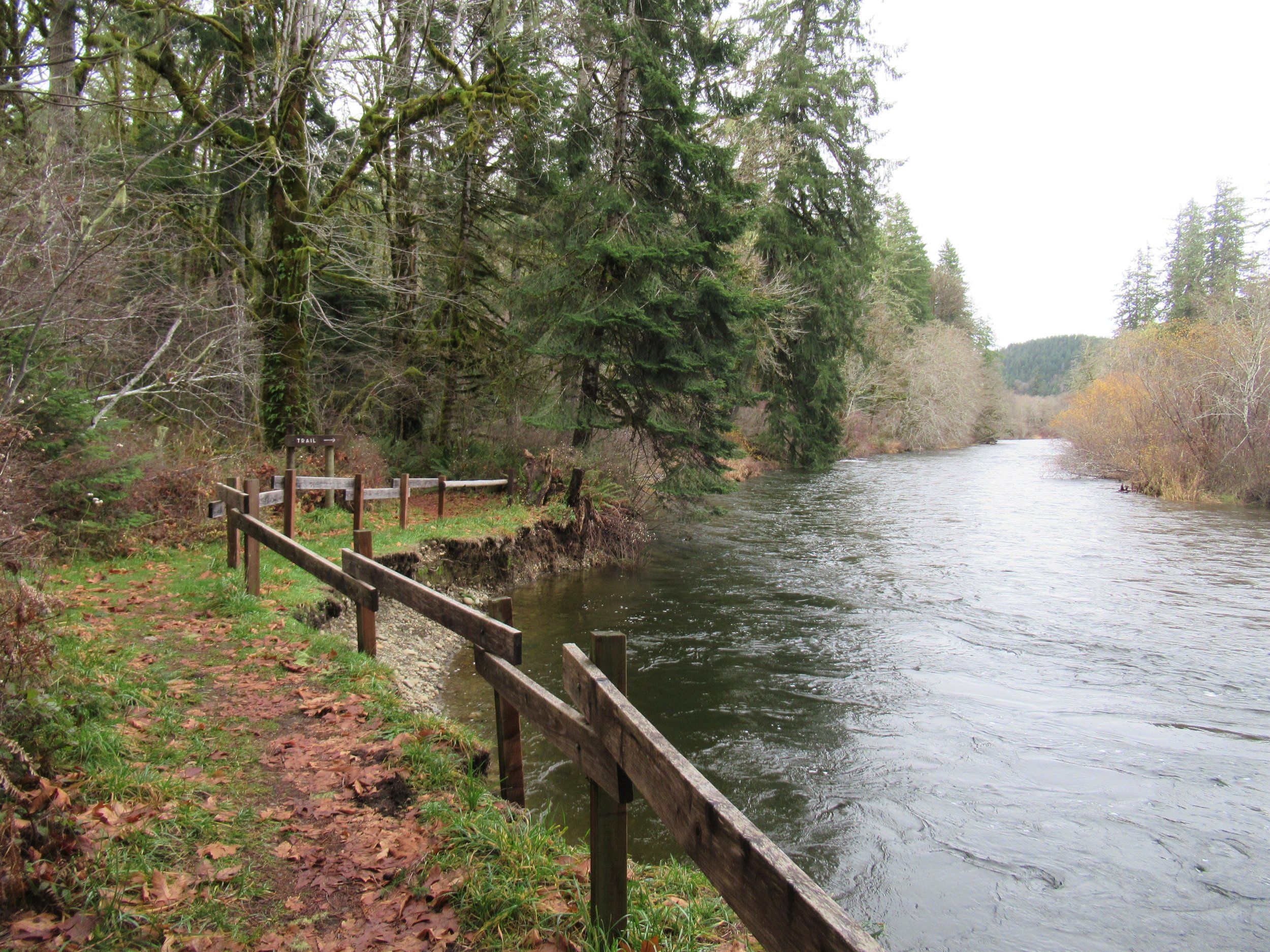
Schafer State Park is located on the East Fork Satsop River in the far southwest of Mason County. Despite being away from cities, it was active starting in 1872 when the Schafer Family from Wisconsin settled here. Their sons Peter, Albert, and Hubert began logging in the 1890s.
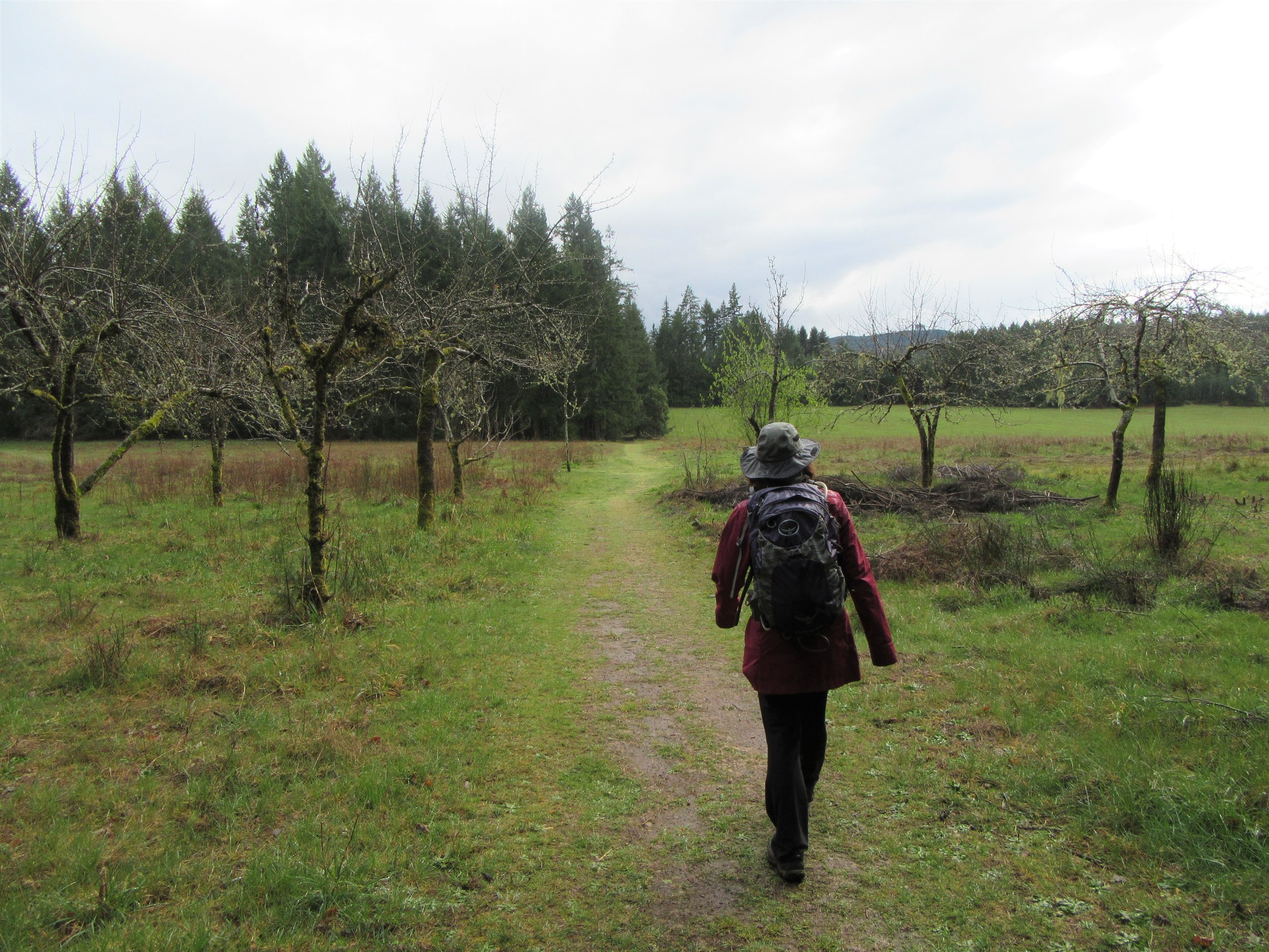
This park was once a farm by Lake Isabella in Washington. It has over 4 miles of trails through pastures, orchards, and woods. You’ll see deer around the 182-acre property. Delight Park Road cuts through the middle of the park.
The Bayshore Preserve is on a small land in Oakland Bay. It used to be a golf course but has been restored to its natural state by the Capitol Land Trust, Squaxin Island Tribe, and other partners. The preserve is crucial for wildlife and has cultural significance as it used to be a Squaxin Island Tribe village with a large longhouse.
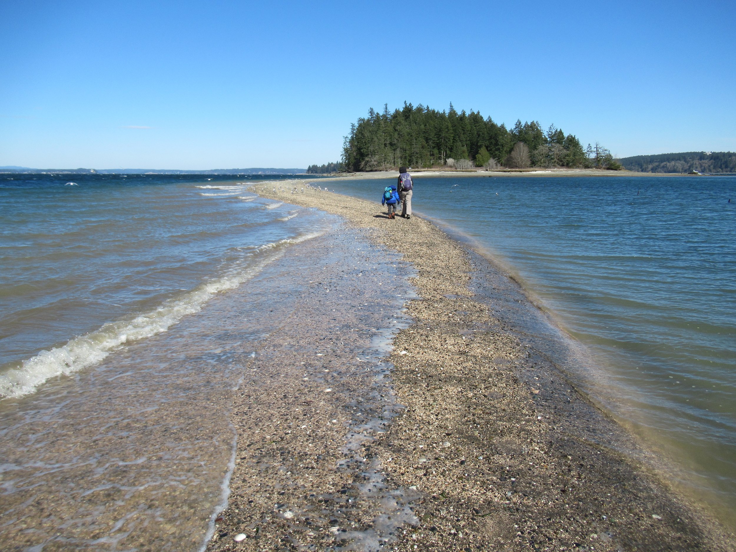
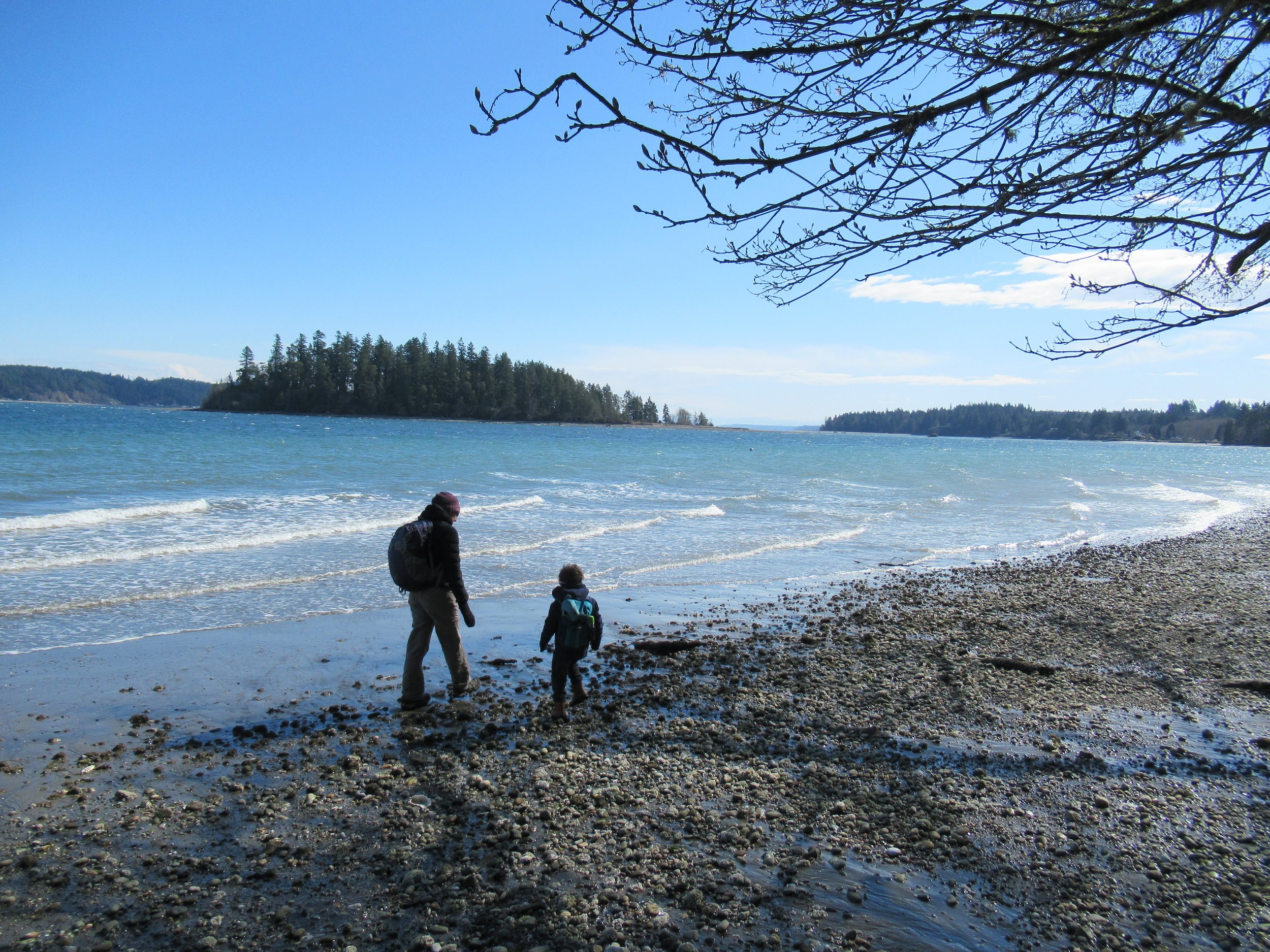
McMicken Island in Case Inlet can be reached without a bridge or ferry. During low tide, a sandbar appears, connecting the island to the mainland. You can hike the island's half-mile trail, picnic in a small meadow, and explore its rocky intertidal zone. But watch out for rising tides to avoid getting stuck.
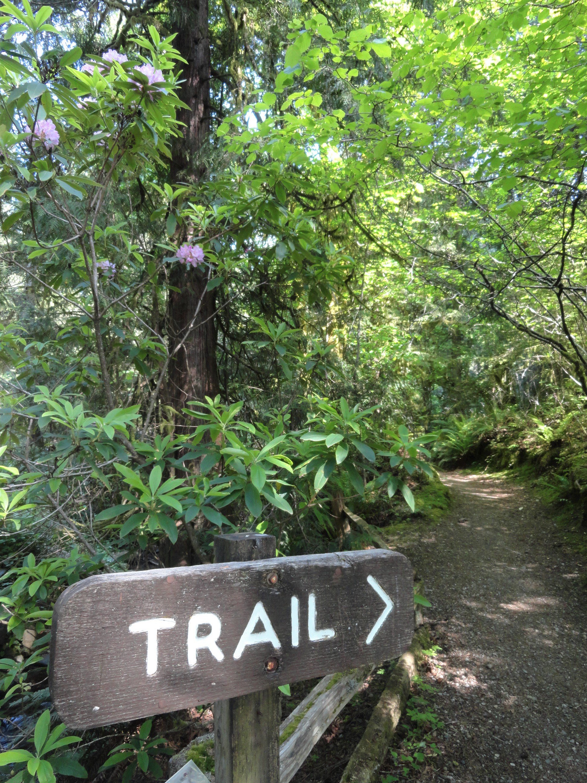
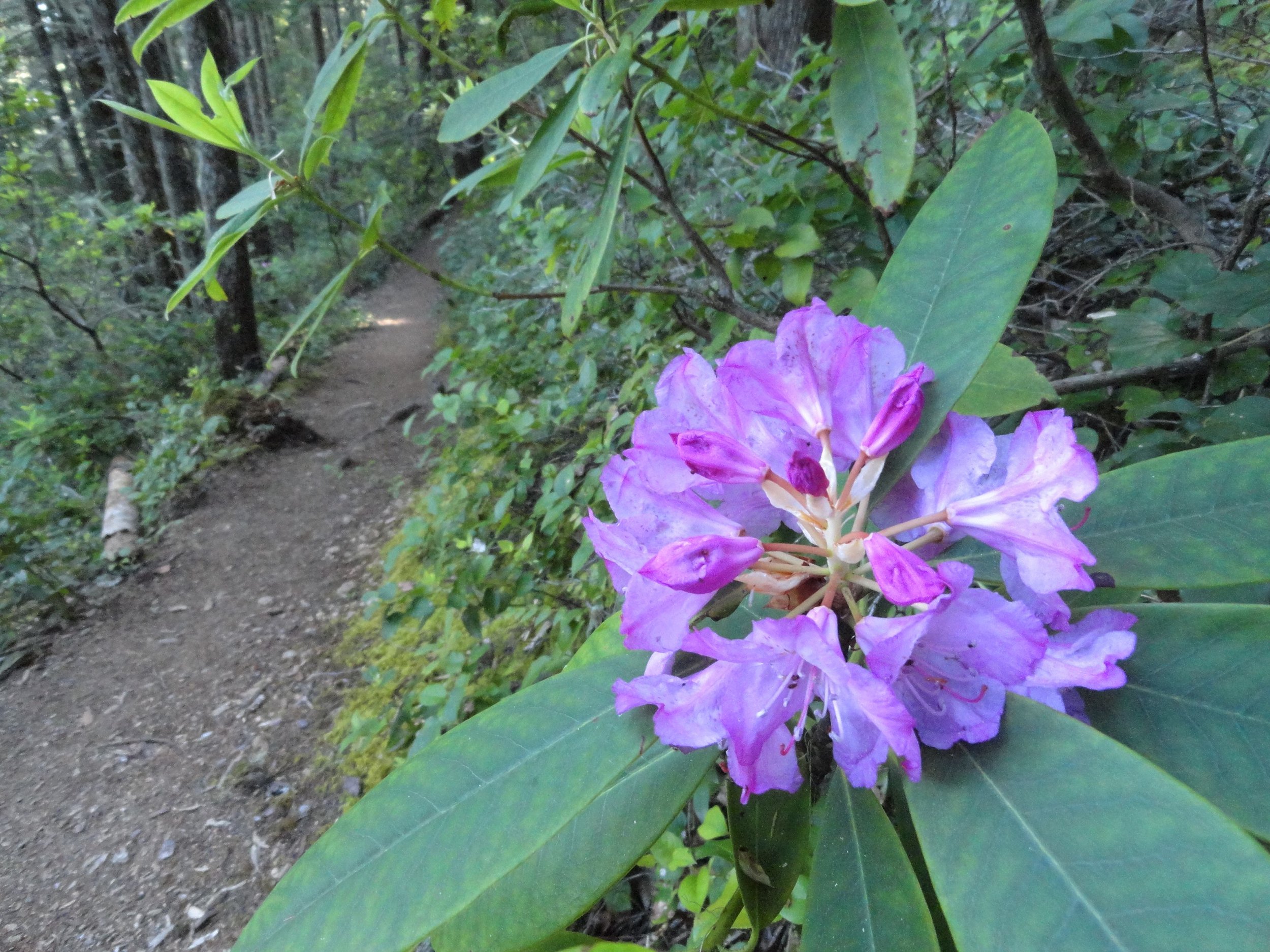
Known for its expansive beach on Hood Canal, which boasts some of Washington's warmest salt water. Visitors mainly head to the beach or campground, so the park's trails are often peaceful. Find the trail start near a group of rhododendron bushes. The path runs alongside Twanoh Creek, leading to a delta on the beach. It eventually reaches a crossroads.
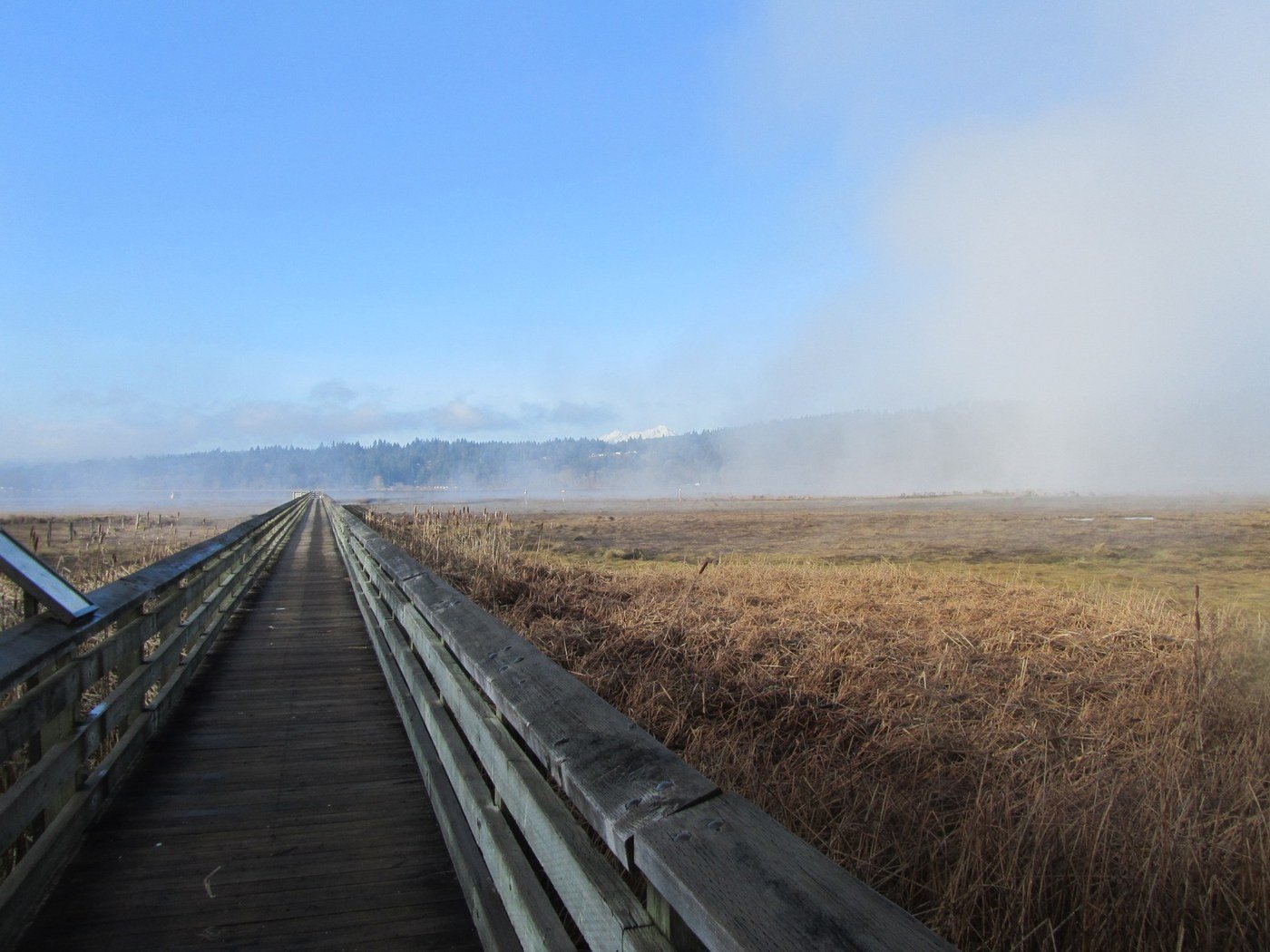
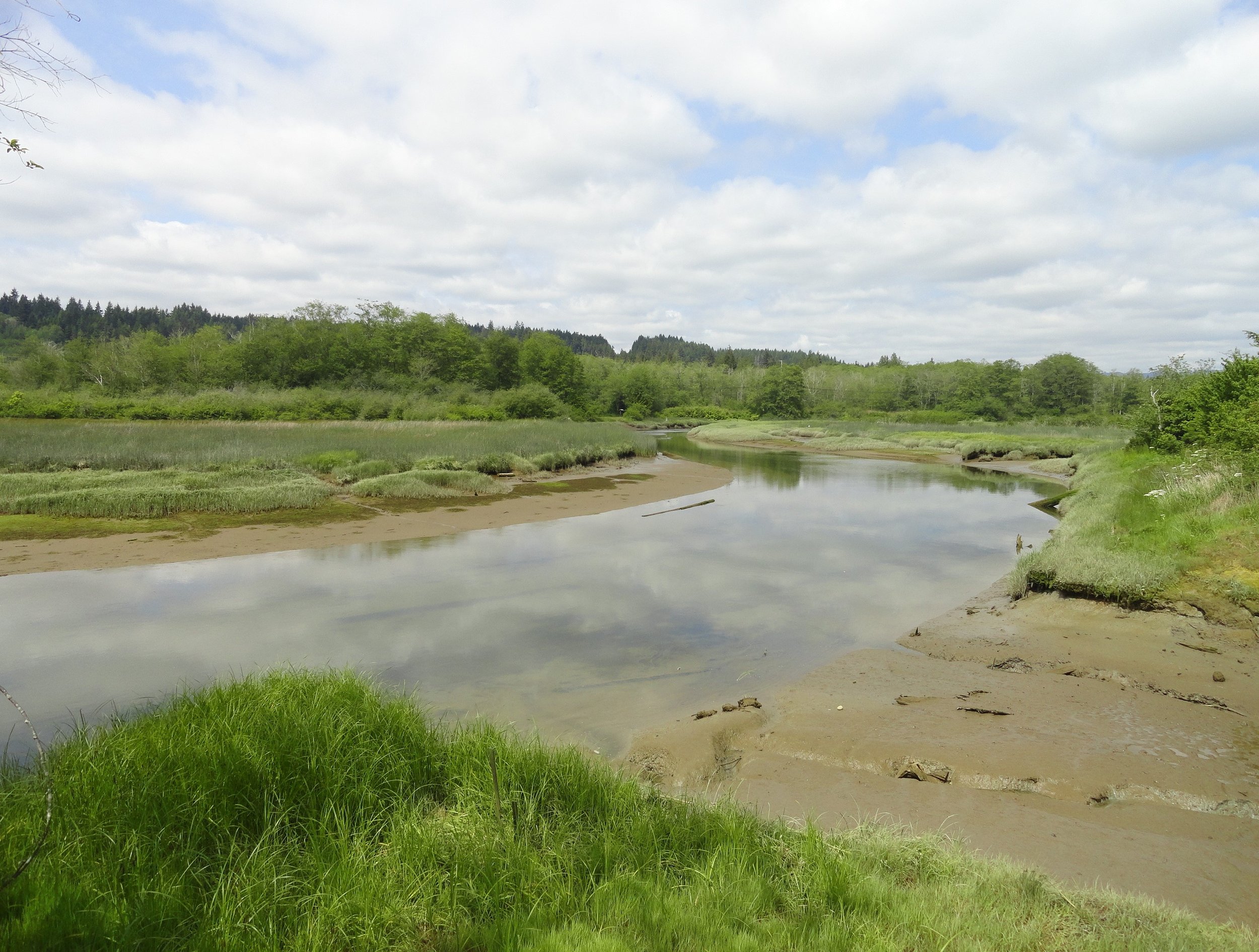
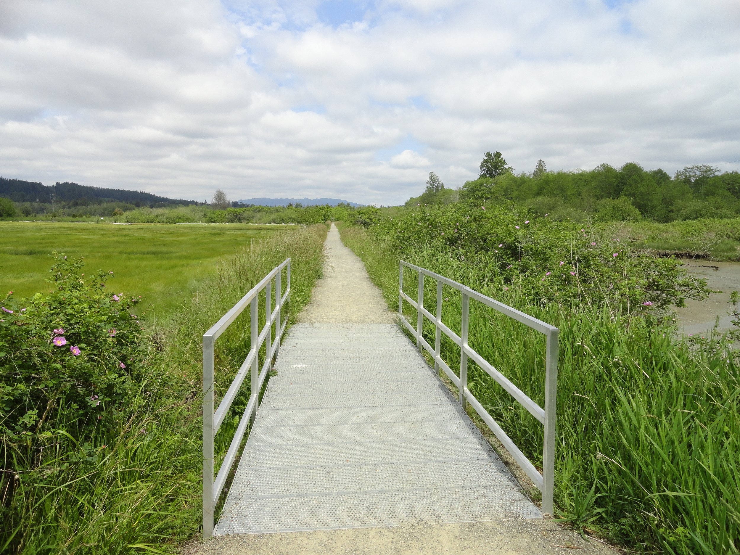
Explore Theler Wetlands at Hood Canal's edge, where the Union River meets the fjord, providing a diverse wildlife habitat. The preserve, alongside a nearby Washington DFW area, safeguards hundreds of acres supporting various animals. Walk on bridges and boardwalks to see many birds and mammals, such as eagles, ospreys, herons, swallows, deer, coyotes, and otters, along the three-mile trail.
Duckabush River Trail travels near and along the river for more than 20 miles terminating at Marmot Lake in the heart of Olympic National Park. That’s a long journey primarily reserved for backpackers. Day hikers however should be content heading up this trail for just a few miles.
The Lena Lakes are located above the Hamma Hamma valley. Despite having the same name, the two lakes have distinct differences. The lower lake is a simple, family and pet-friendly walk through old, tall trees in Olympic National Forest. The upper lake is a tough climb to a beautiful high area in Olympic National Park. The lower lake is usually crowded, while the upper lake offers more solitude. Access to both lakes is the same.
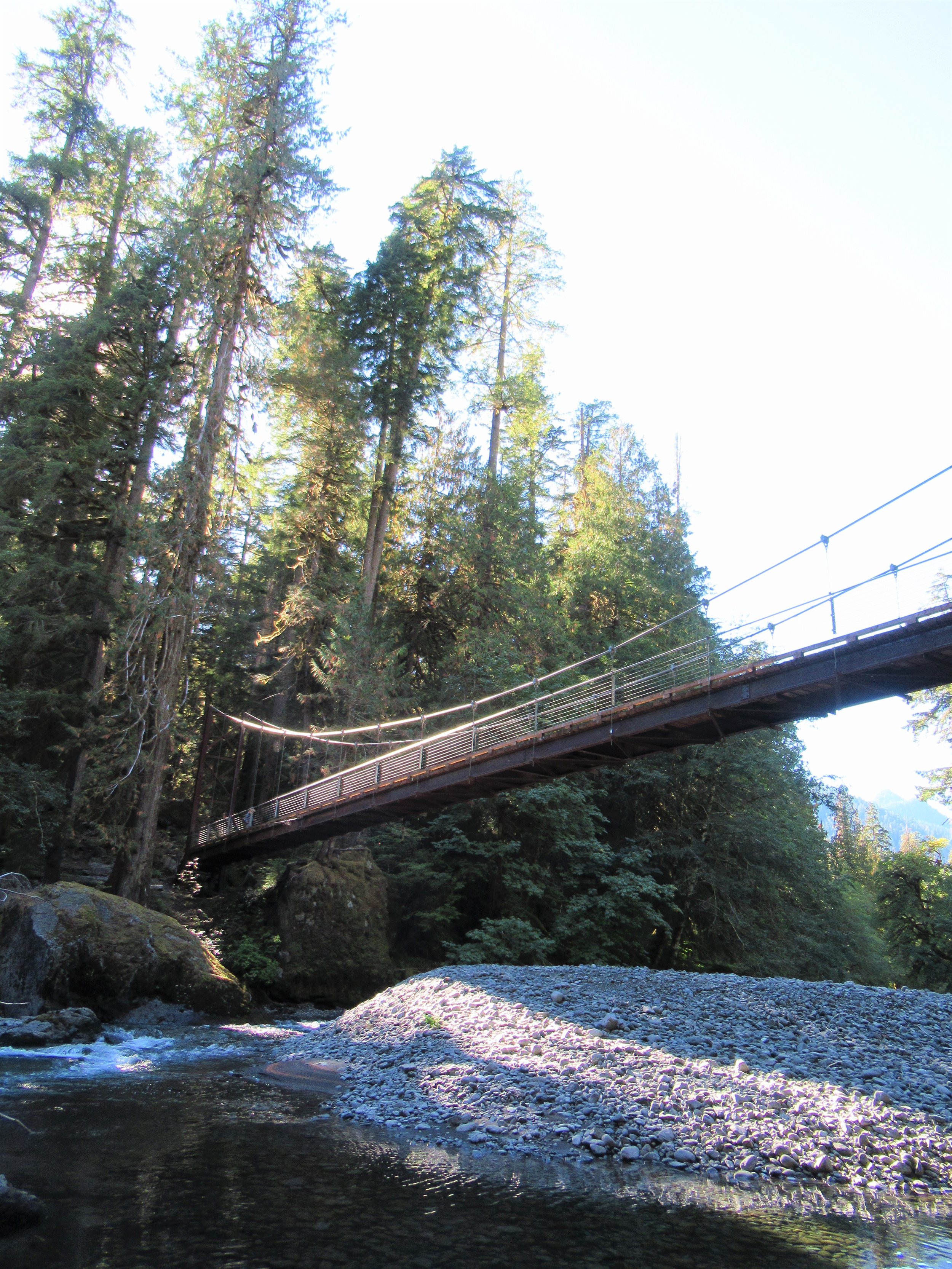
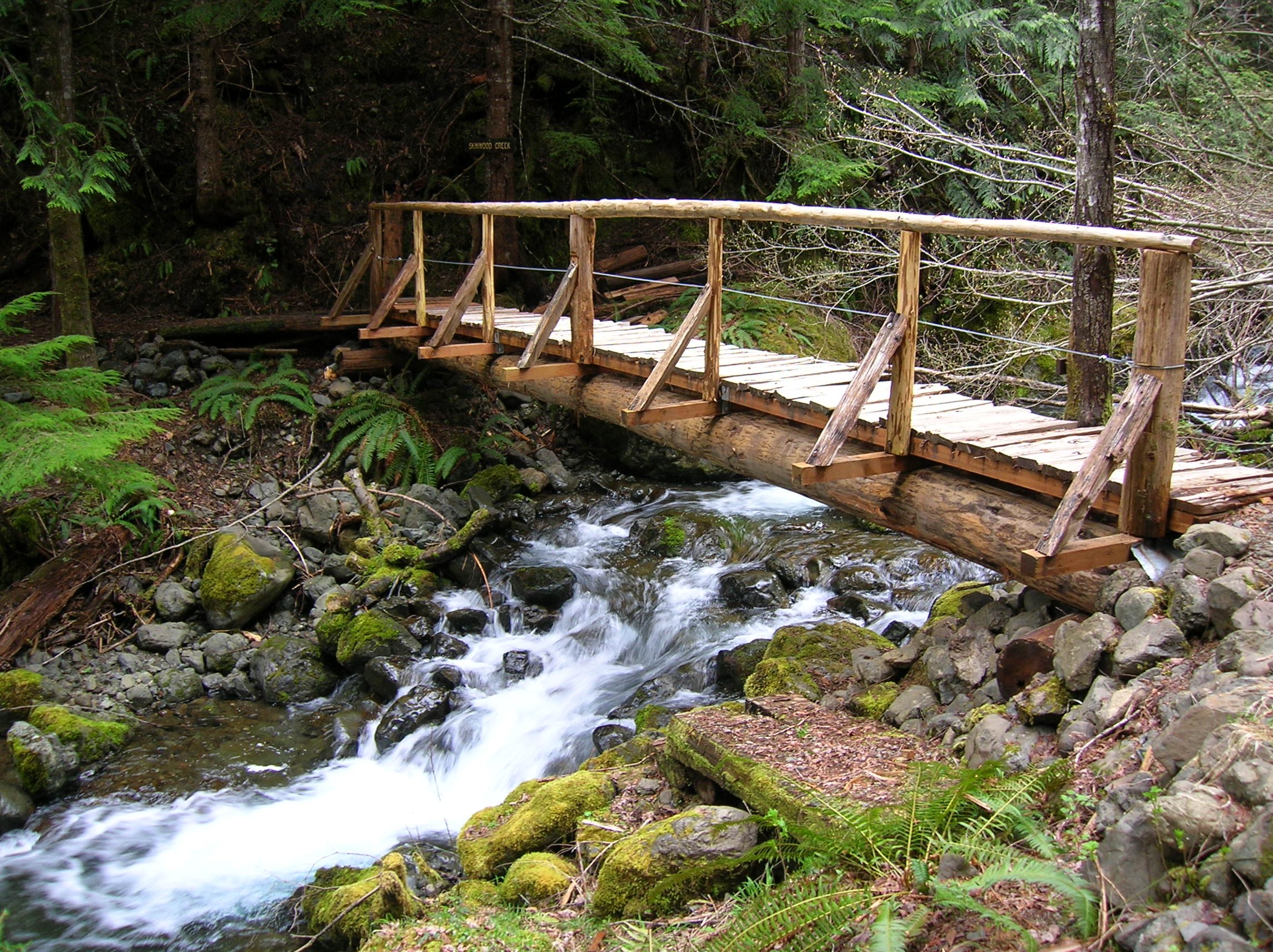
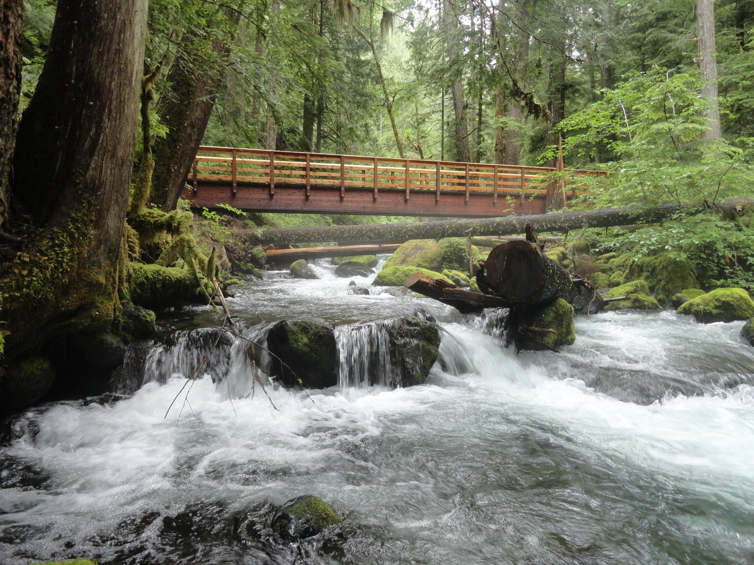
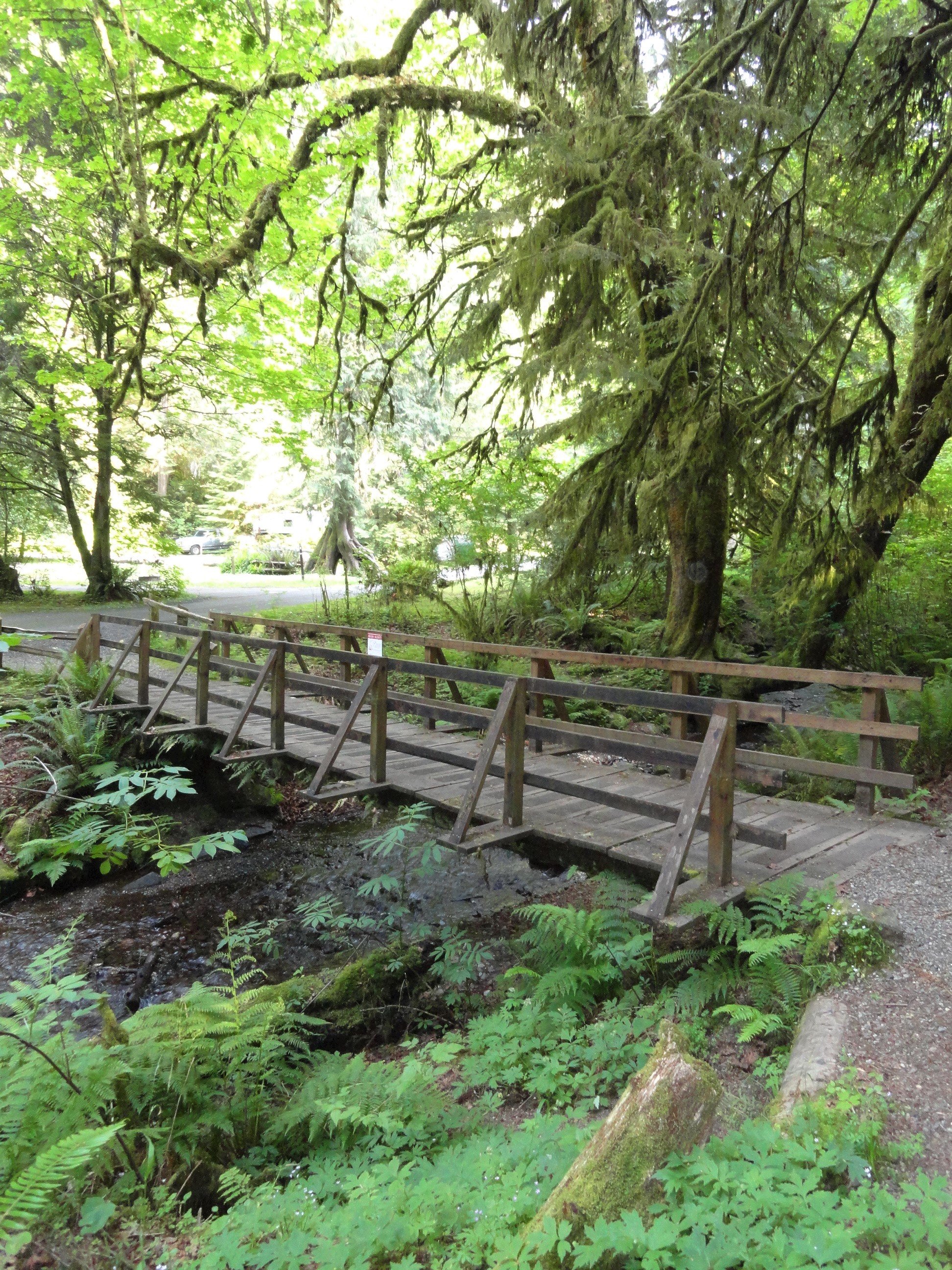
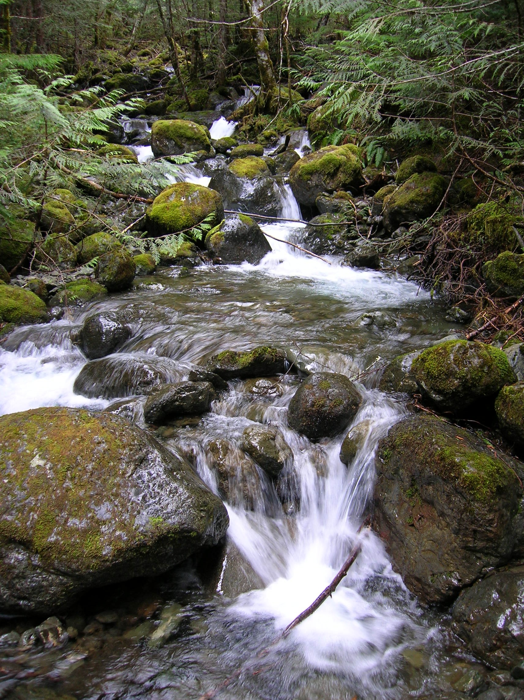
This easy hiking loop around Big Creek crosses over several bridges and leads to hidden waterfalls. It's best to hike after heavy rain. The Mount Rose Trail Crew built the loop over twenty years ago using old logging roads and new paths. The trail starts at Big Creek Campground and is maintained by the volunteer crew. One of the highlights of the hike is the well-built bridges.
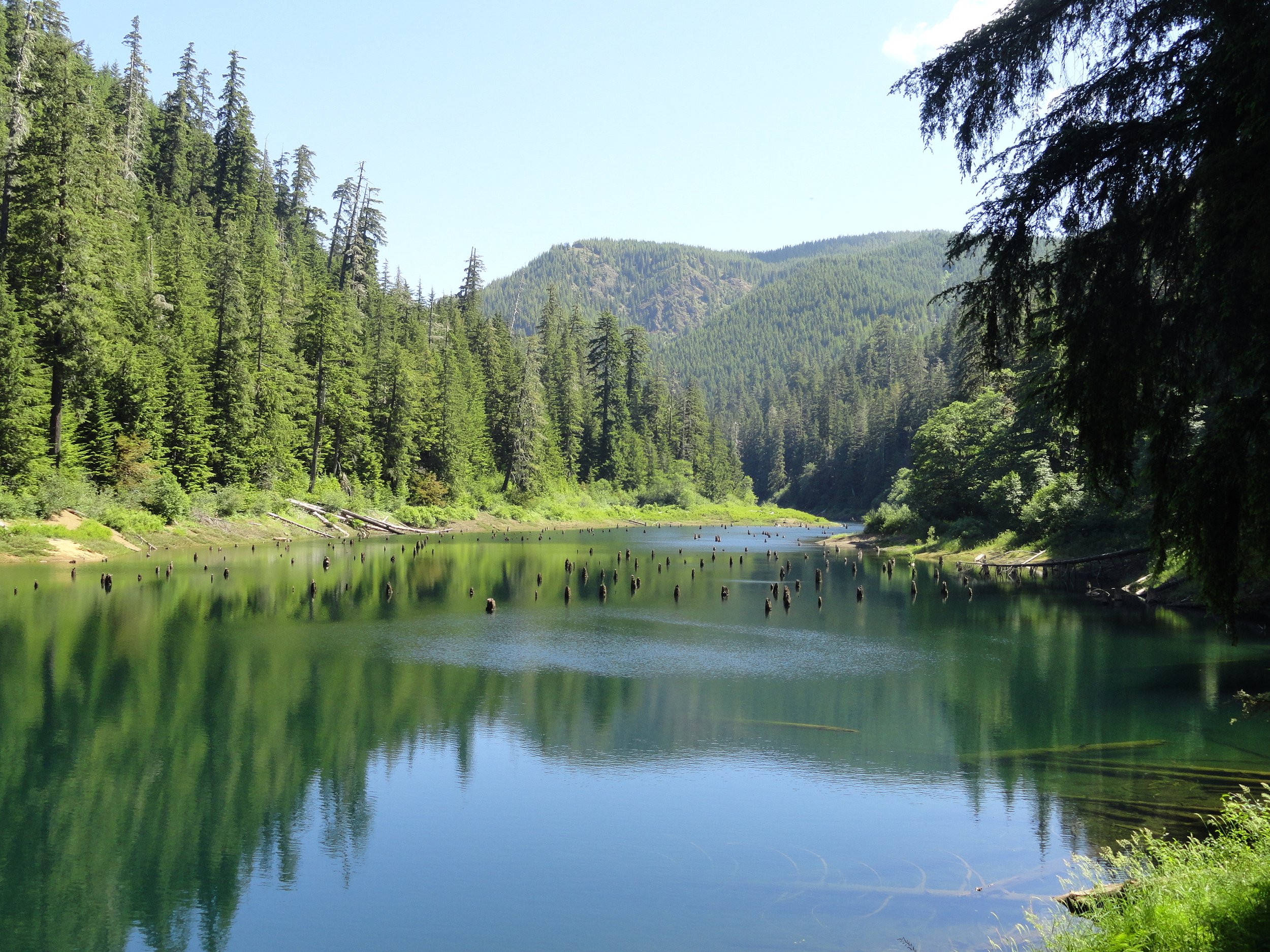
Pine Lake is surrounded by old-growth forest, despite being in a previously heavily logged area. An old logging road now serves as a quiet hiking trail to the lake, often free of crowds.
It’s one of the hardest and meanest trails in the Olympic Mountains. The trail to the Mildred Lakes was never officially built and includes steep sections up rocks, roots, and ledges.
The Lena Lakes are located above the Hamma Hamma valley. Despite having the same name, the two lakes have distinct differences. The lower lake is a simple, family and pet-friendly walk through old, tall trees in Olympic National Forest. The upper lake is a tough climb to a beautiful high area in Olympic National Park. The lower lake is usually crowded, while the upper lake offers more solitude. Access to both lakes is the same.
The trail starts off easy on an old road, crossing a flowing creek. Then it gets steep quickly with sharp turns, climbing nonstop through switchbacks. Pass by salal and young trees, with some big ancient firs still standing from past fires.
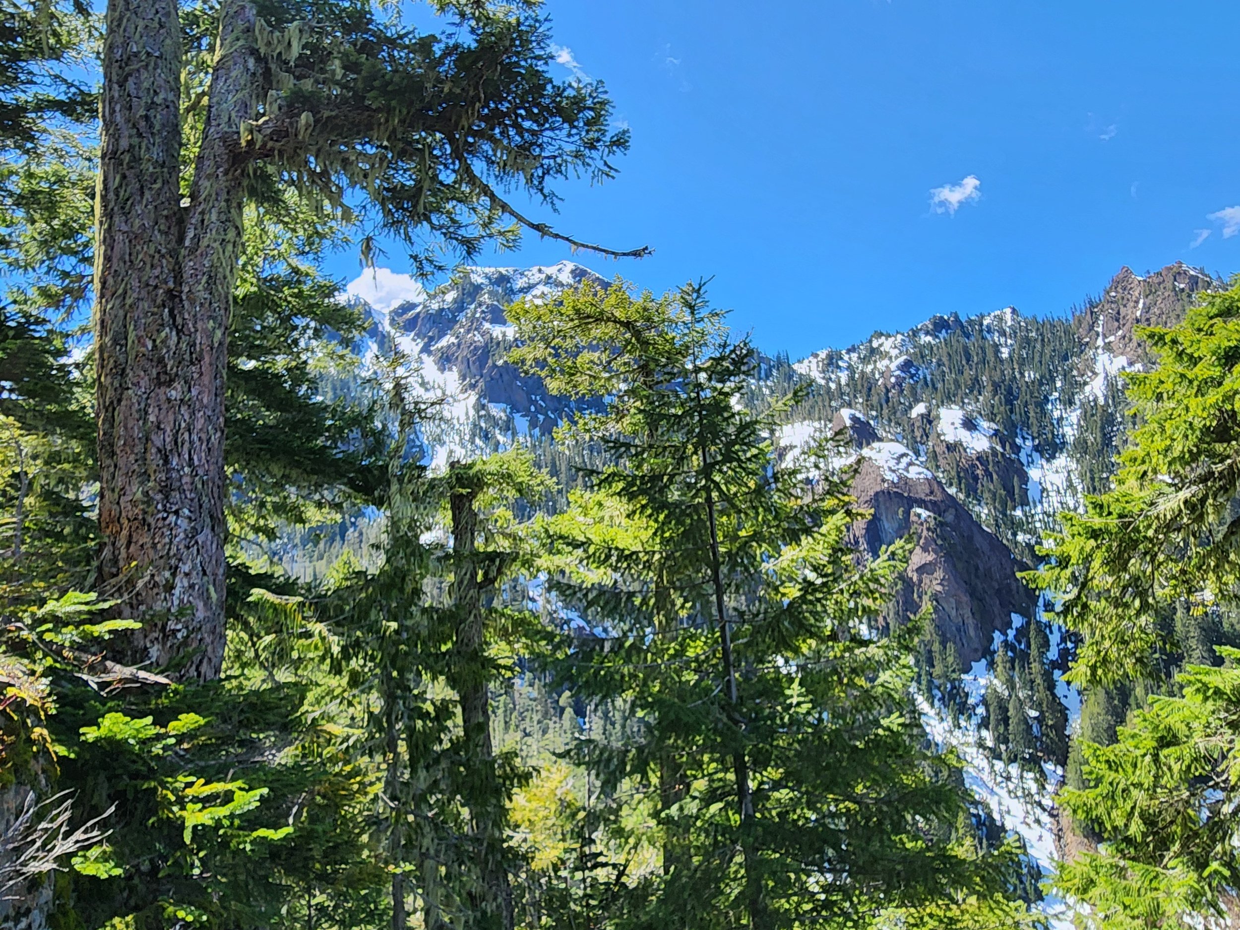
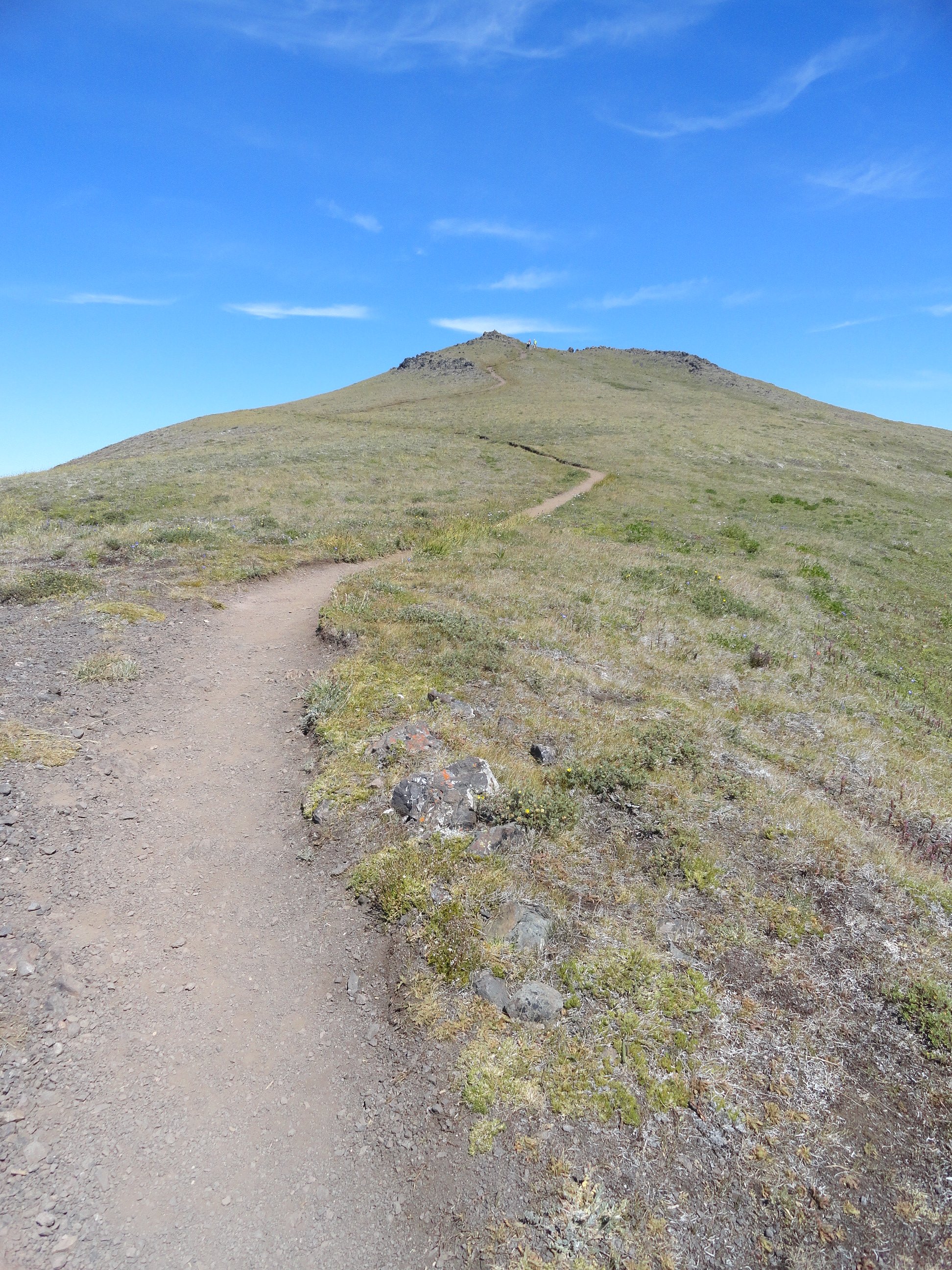
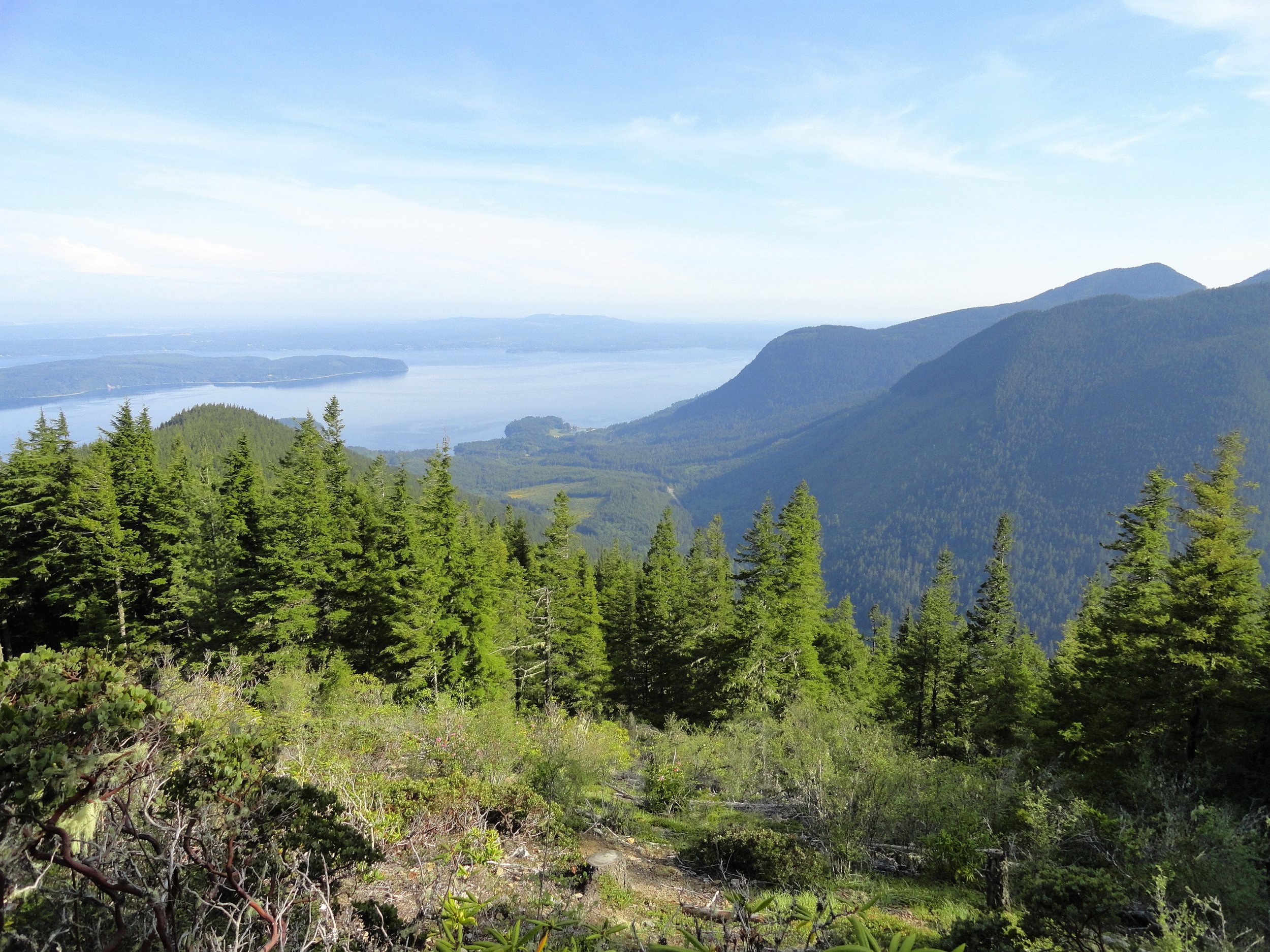
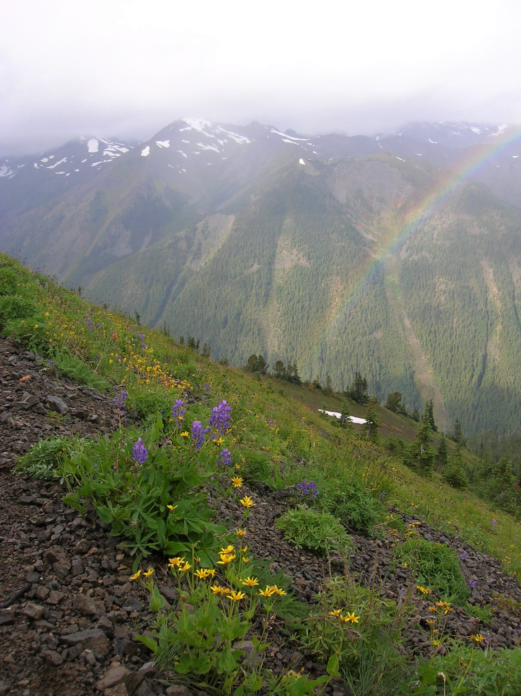
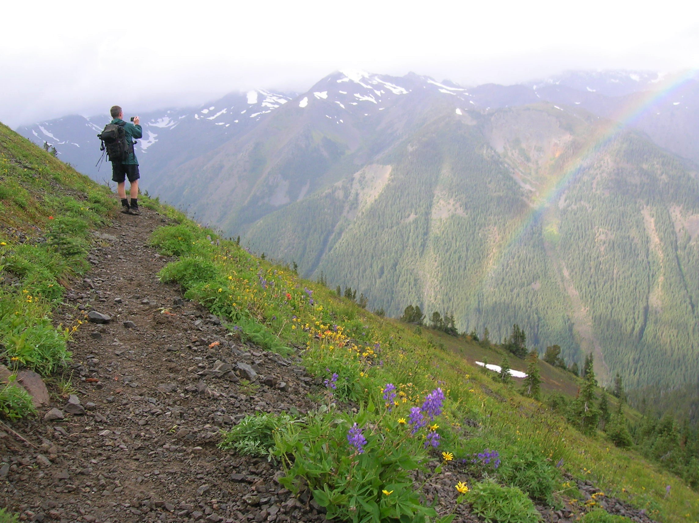
Hike across a broad, high summit at the northeastern edge of the Olympics and savor dazzling wildflowers and sweeping views that include snowy Mount Baker, the lofty, jagged eastern Olympic Mountain front, Puget Sound, and the Seattle skyline shimmering before Mount Rainier.
A classic hike in the Olympic rain shadow, Marmot Pass is often kissed with sunbeams while nearby ridges swirl with clouds. And while a small population of marmots wander this high country—hikers are abundant. Plan your hike for mid-week and be a good steward of this beautiful but fragile destination.
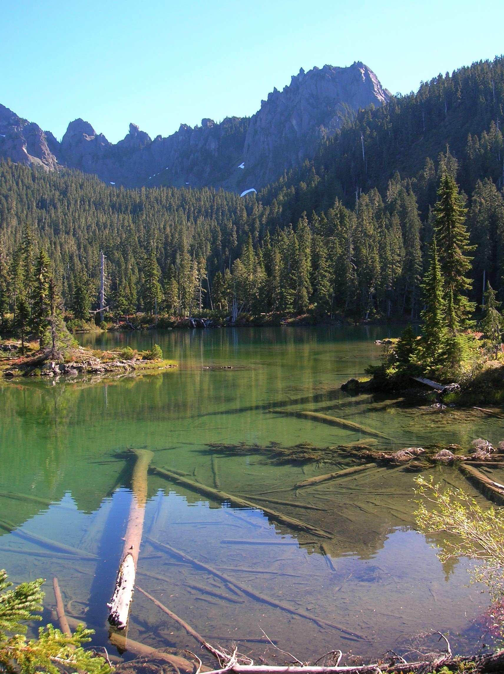
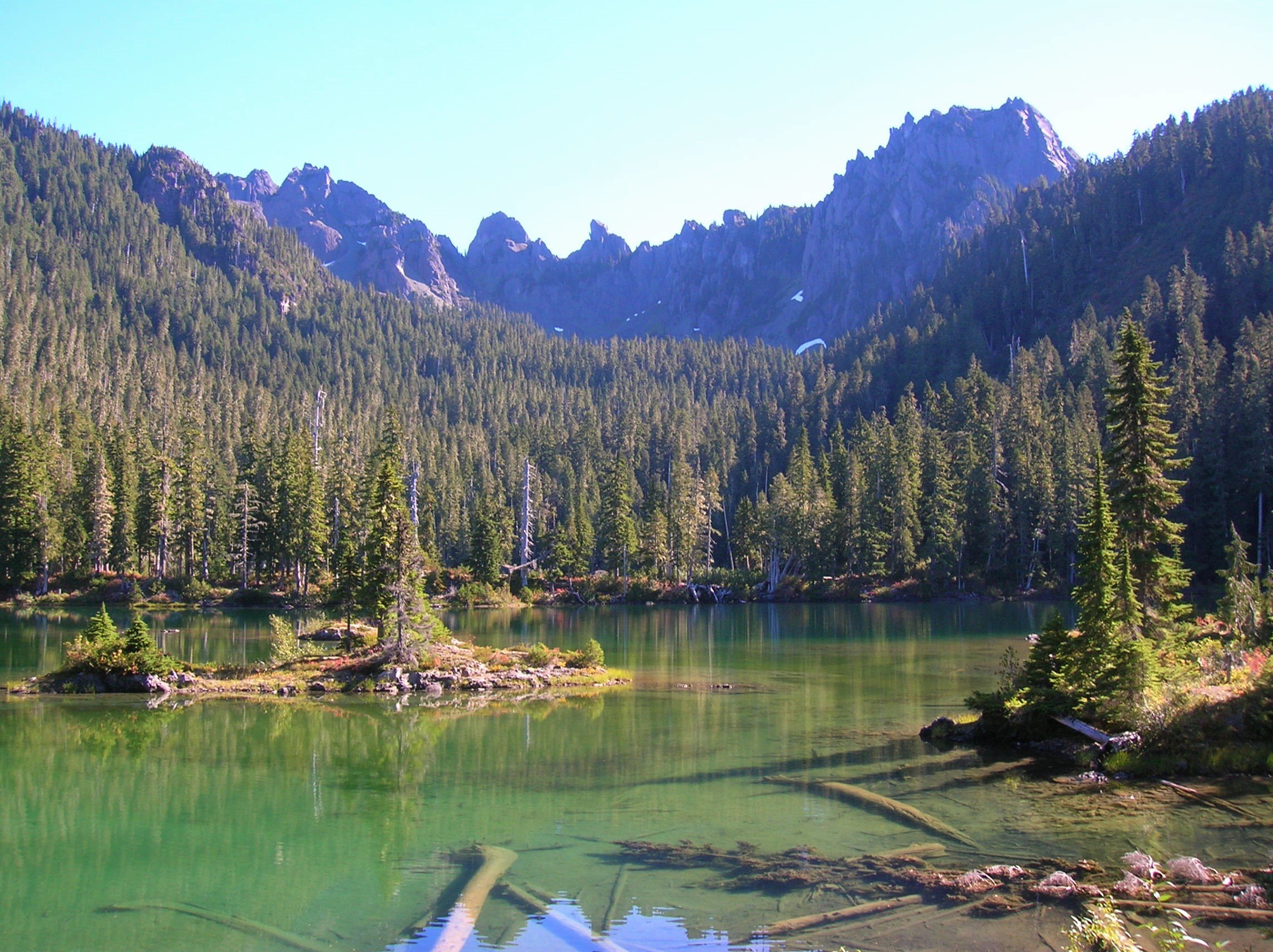
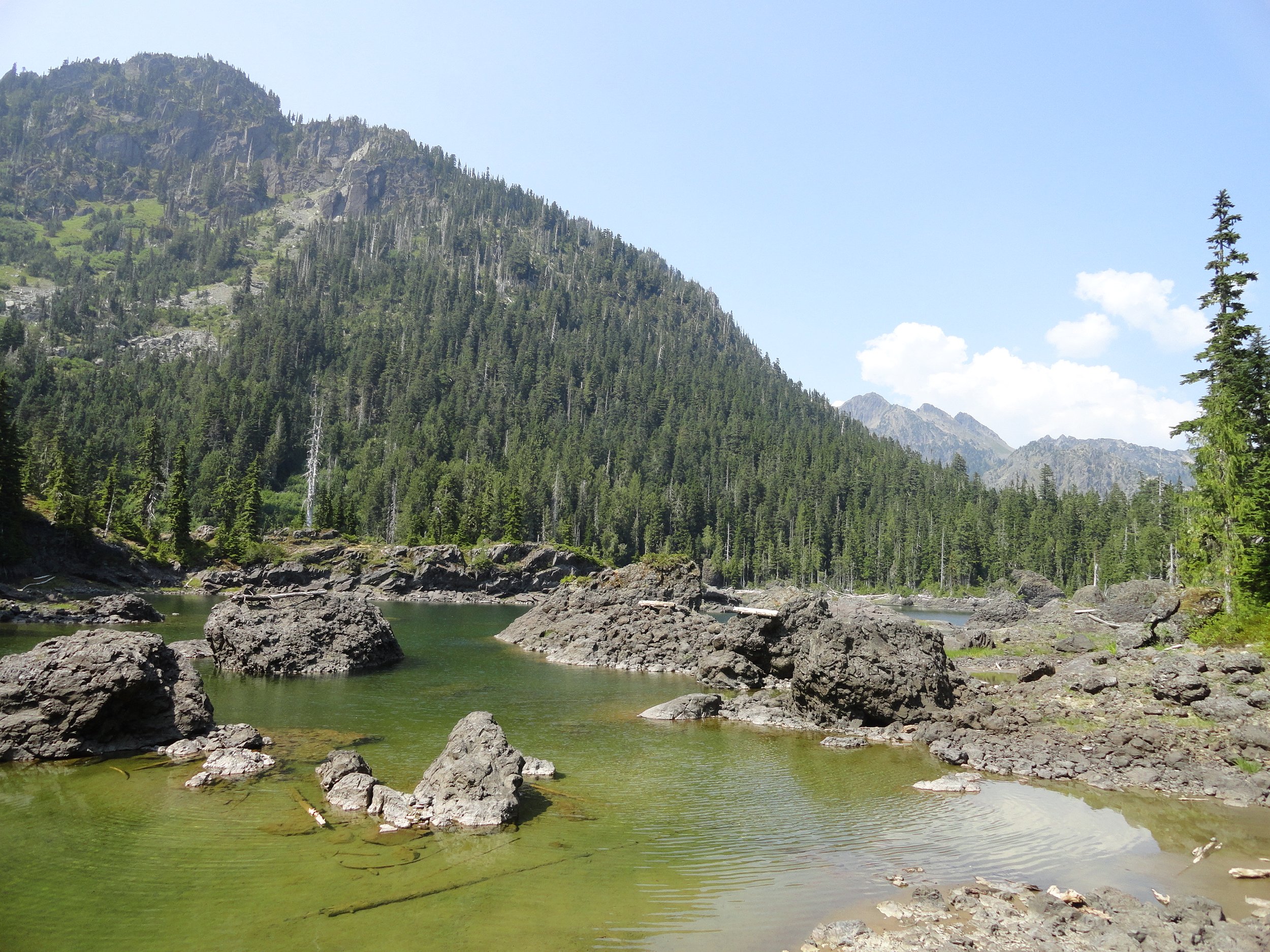
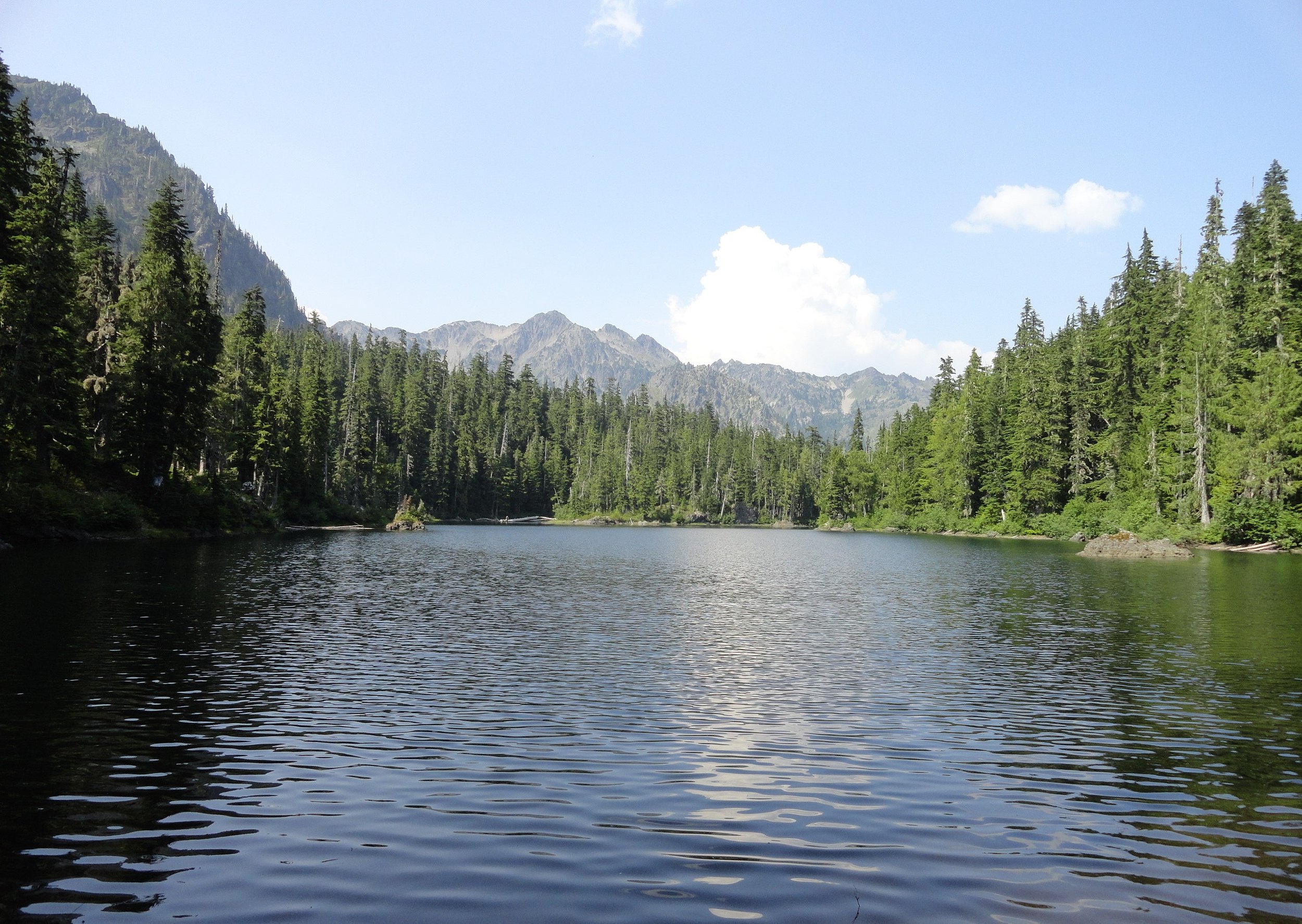
Subalpine lakes tucked in the high serrated divide separating Olympic National Park from the Mount Skokomish Wilderness. To reach the two lakes, most of the trail is easy or moderately steep, making it doable in a day for experienced hikers. Runners and strong hikers can make it in a day. Beginners might consider camping overnight at the lakes.
Church Creek Trail is named after Frederic Church, a member of an 1890 expedition across the Olympics. This trail offers a lightly traveled route through old-growth forests with majestic trees.
In Addition To Our Hikes, Mason County Also Has A Variety Of Beautiful Walks
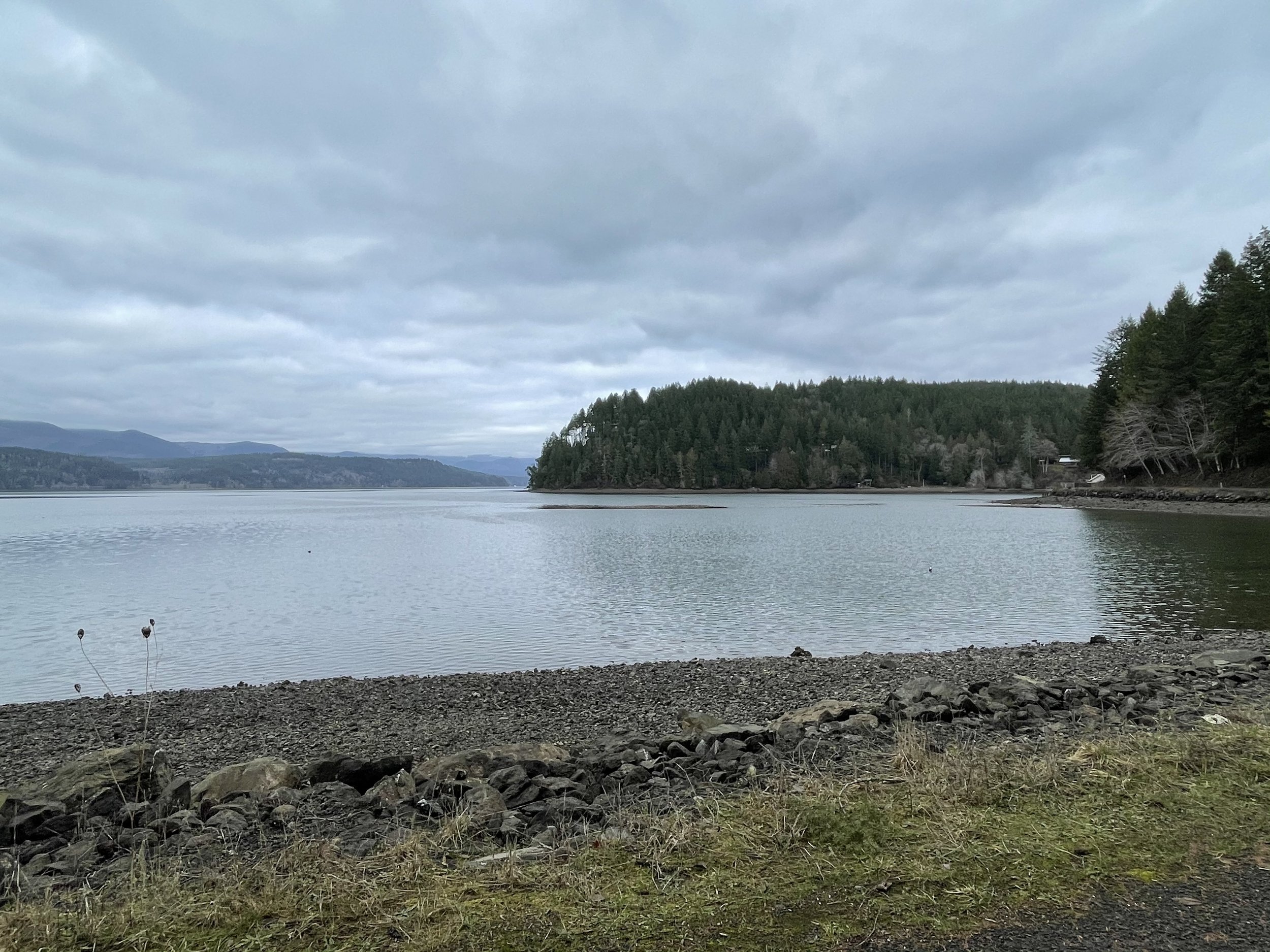
Beach with an expansive view of the Olympics; excellent photography destination. Lots of ripe berries in late summer. The northeastern boundary of state tidelands is marked with tires and posts installed by the neighboring private tideland owner.
Spectacular views of the Mt. Skokomish and the Brothers ranges; interpretive signage. Trail passes Hamma Hamma Cabin built by the Civilian Conservation Corps (1930s).
Trail follows park boundary, circles campground, access to beach below eroded bluffs. NO fee.
Check out Hood Canal’s many spots for Birding, Camping, Parks and Waterfalls.
More trails
HOODSPORT Area
More trails
Belfair & Allyn Area
more trails
Shelton Area
