
Tracing the Fjord
Like a giant fish hook snaking around glacier capped peaks, lush rain soaked forests and spanned by a web of waterways and inlets, the Hood Canal is poised to catch your imagination and reel in memories for years to come.
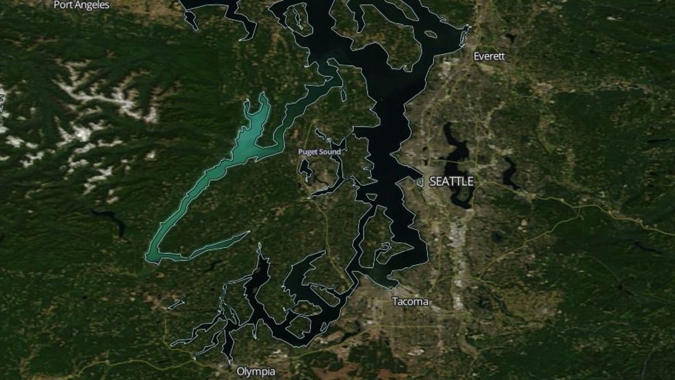
The Hood Canal fjord formed during the Late Pleistocene era approximately 13,000 years ago when the Cordilleran Ice Sheet retreated. The ice sheet excavated the channels of Puget Sound, Lake Washington, Hood Canal, and other long, straight valleys in the Puget Sound area.
“Christened “Hood’s Channel” by Captain Vancouver when he traced the shores of the sixty mile fjord in May 1792, the Twana people have called this hook of saltwater “home” for countless generations before European arrival.”
A NASA MODIS satellite image showing the teal-colored Hood Canal as a 2017 plankton bloom covers the Canal a harmless but tropic aquamarine. (Photo: NASA/MODIS)
The curious question as to how did the massive glacier turn in it’s course to create the “hook” may be answered by examining a combination of forces including the formation of great glacial lakes and erosion. The broad valley of the Skokomish River joins the southern tip of the Canal from the west in much the same way as the arm “hook” joins from the East.
As the Skokomish valley cut down through the valley it joined the glacier lake with the major fjord thereby creating the “L- shaped” channel. This troughing of the glacial till and erosion may account for the massive sills of glacial sediment that make up the sea floor in many areas of the Canal.
Christened “Hood’s Channel” by Captain Vancouver when he traced the shores of the sixty mile fjord in May 1792, the Twana people have called this hook of saltwater “home” for countless generations before European arrival.
Spending winters in villages near the mouths of the major rivers, the Twana people lived in cedar plank homes and enjoyed a rich culture and livelihood on the fjord. Salmon, clams, plants, and game provided year round generous bounty for their families.
The warmer months were marked with visits to neighboring settlements as well as further journeys to trade with people from as far away as what is now Alaska’s outer coast.
In 1792, Vancouver ventured into Hood Canal in longboats. He left his ships, the Discovery and Chatham, in nearby Port Townsend. Vancouver and his crew journeyed as far as the mouth of the Skokomish River, where Menzies, his botanist, was amazed by the rich vegetation as well as the natural beauty of the area. He wrote in his journal, “here the arm was hemmed in by lofty Mountains on one side and low flat country of considerable extent on the other.”
After a few days of exploration and trade with the Twana people, Vancouver and his men retraced their path out of the Canal leaving behind a legacy of European names in their wake.
Over two centuries later the Canal remains much the same. The settlements are replaced with small towns and knots of houses. Harvested hillsides have regrown new forests. The water route is replaced with a two lane highway that follows the shoreline.
“As Highway 101 meanders along the canal edge, we pass pockets of civilization and catch glimpses of the beauty through the trees.”
Hood Canal is renown as a diving mecca as its glacial fjord formation caused underwater biomes that appear no where else. Adventurers travel worldwide for the area’s spectacular hiking, boating, fishing, camping and relaxing opportunities. Heralded for its rich timber history and aquaculture resources it is the place where many of us choose to raise our kids and build our livelihoods.